Transport Functions
Multimodal
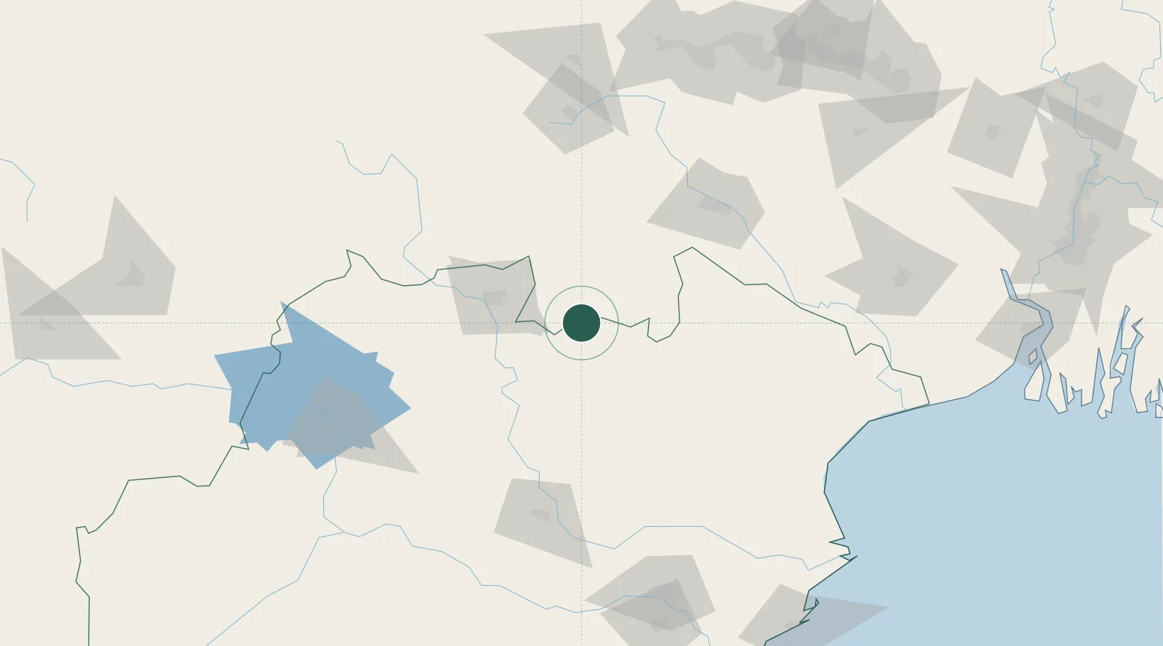
Hub Profile
Place type
Populated place
Region
Odisha
Population
66,540
Time zone
Asia/Kolkata
Elevation
465 m
Location
Nearby Logistics Neighbours
Cities
- 1Jamshedpur113 km
- 2Concor ICD/Jharsuguda139 km
- 3Namkum139 km
- 4Ranchi139 km
- 5Vedanta SEZ/Jharsuguda144 km
Ports
- 1Dhamra217 km
- 2Paradip244 km
- 3Haldia Port278 km
- 4Calcutta308 km
- 5Gopalpur314 km
Airports
- 1Rourkela Airport61 km
- 2Sonari Airport113 km
- 3Birsa Munda Airport135 km
- 4Jharsuguda Airport139 km
- 5Biju Patnaik International Airport210 km
Trade Zones
DatabookThe Record of Consolidated Knowledge
India beyond logistics?