Transport Functions
Multimodal
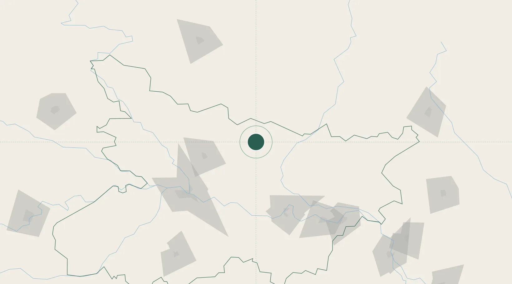
Hub Profile
Region
BR
Location
Nearby Logistics Neighbours
Cities
- 1Laukaha Lcs44 km
- 2Pratapganj88 km
- 3Munger112 km
- 4Biratnagar121 km
- 5Birgunj ICD143 km
Ports
- 1Calcutta478 km
- 2Haldia Port521 km
- 3Mongla558 km
- 4Dhamra620 km
- 5Paradip677 km
Airports
- 1Darbhanga Airport23 km
- 2Janakpur Airport45 km
- 3Muzaffarpur Airport80 km
- 4Biratnagar Airport119 km
- 5Jay Prakash Narayan Airport129 km
Trade Zones
DatabookThe Record of Consolidated Knowledge
India beyond logistics?