Medium airport · Nepal

Biratnagar AirportVNVT
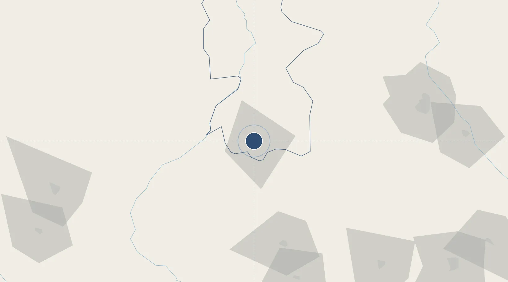
26.4815°, 87.2640°
4,937 ft
Longest runway
1
Runways
236 ft
Elevation

Runway & Layout

Biratnagar Airport runway & taxiway layout
Runway & taxiway layout — OpenStreetMap (ODbL) / OurAirports

Radio Frequencies

TWR
123.8 MHz
OurAirports

Navaids

BRT VOR-DME Biratnagar 114.10 MHz
VTN NDB Biratnagar 358 kHz
OurAirports

Runways · 1

RunwayDimensions SurfaceTrue headingLit
09/27 4,937 × 100ft Asphalt 092°
OurAirports

Airport Specifications

IATA code
BIR
OurAirports
ICAO code
VNVT
OurAirports
Airport class
Medium airport
OurAirports
Scheduled service
Yes
OurAirports
Runway surface
Asphalt
OurAirports
Served city
Biratnagar
OurAirports

Location

Location of VNVT
Natural Earth 10m (public domain) · Bhojpur · VNVT · 26.48, 87.26GoogleOSMYandex

Nearby Logistics Neighbours

Airports
  1. 1Bhadrapur Airport82 km
  2. 2Tumling Tar Airport93 km
  3. 3Taplejung Airport106 km
  4. 4Bagdogra Airport108 km
  5. 5Janakpur Airport136 km
Nearest neighbours — logibook spatial index (haversine) over the source coordinates
Cities
  1. 1Biratnagar2 km
  2. 2Pratapganj36 km
  3. 3Laukaha Lcs81 km
  4. 4Siliguri118 km
  5. 5Pipraun Lcs119 km
Nearest neighbours — logibook spatial index (haversine) over the source coordinates
Ports
  1. 1Calcutta450 km
  2. 2Haldia Port503 km
  3. 3Mongla505 km
  4. 4Dhamra631 km
  5. 5Chittagong653 km
Nearest neighbours — logibook spatial index (haversine) over the source coordinates
Trade Zones
  1. 1Biratnagar Special Economic Zone9 km
  2. 2Siraha Special Economic Zone24 km
  3. 3Jhapa Special Economic Zone36 km
  4. 4Gorkha Special Economic Zone92 km
  5. 5Dhanusha Special Economic Zone138 km
Nearest neighbours — logibook spatial index (haversine) over the source coordinates
DatabookThe Record of Consolidated Knowledge
Nepal beyond logistics?
Browse databook

All Sources

AirportsOurAirports
Public domain
Portsthe NGA World Port Index
Public domain (US gov)
LocationsUN/LOCODE
UN/LOCODE — free
Trade Zonesthe World Bank SEZ database
CC BY 4.0
Trade ZonesOpen Zone Map
CC BY
InfrastructureOpenStreetMap
ODbL 1.0
← Nepal airports