Medium airport · India

Darbhanga AirportVEDH
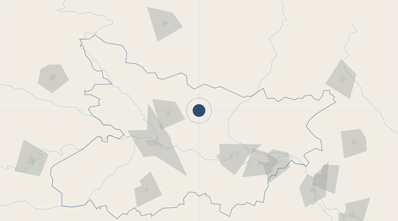
26.1928°, 85.9169°
9,000 ft
Longest runway
1
Runways
156 ft
Elevation

Runway & Layout

Darbhanga Airport runway & taxiway layout
Runway & taxiway layout — OpenStreetMap (ODbL) / OurAirports

Runways · 1

RunwayDimensions SurfaceTrue headingLit
10/28 9,000 × 150ft Concrete 098°
OurAirports

Airport Specifications

IATA code
DBR
OurAirports
ICAO code
VEDH
OurAirports
Airport class
Medium airport
OurAirports
Scheduled service
Yes
OurAirports
Runway surface
Concrete
OurAirports
Served city
Darbhanga
OurAirports

Location

Location of VEDH
Natural Earth 10m (public domain) · Bihar · VEDH · 26.19, 85.92GoogleOSMYandex

Nearby Logistics Neighbours

Airports
  1. 1Janakpur Airport57 km
  2. 2Muzaffarpur Airport61 km
  3. 3Jay Prakash Narayan Airport107 km
  4. 4Biratnagar Airport138 km
  5. 5Simara Airport142 km
Nearest neighbours — logibook spatial index (haversine) over the source coordinates
Cities
  1. 1Pipraun Lcs23 km
  2. 2Laukaha Lcs66 km
  3. 3Pratapganj105 km
  4. 4Munger106 km
  5. 5Birgunj ICD139 km
Nearest neighbours — logibook spatial index (haversine) over the source coordinates
Ports
  1. 1Calcutta473 km
  2. 2Haldia Port514 km
  3. 3Mongla558 km
  4. 4Dhamra607 km
  5. 5Paradip664 km
Nearest neighbours — logibook spatial index (haversine) over the source coordinates
Trade Zones
  1. 1Dhangadi Special Economic Zone76 km
  2. 2Dhanusha Special Economic Zone78 km
  3. 3Simara Special Economic Zone83 km
  4. 4Rautahat Special Economic Zone93 km
  5. 5Biratnagar Special Economic Zone130 km
Nearest neighbours — logibook spatial index (haversine) over the source coordinates
DatabookThe Record of Consolidated Knowledge
India beyond logistics?
Browse databook

All Sources

AirportsOurAirports
Public domain
Portsthe NGA World Port Index
Public domain (US gov)
LocationsUN/LOCODE
UN/LOCODE — free
Trade Zonesthe World Bank SEZ database
CC BY 4.0
Trade ZonesOpen Zone Map
CC BY
InfrastructureOpenStreetMap
ODbL 1.0
← India airports