Transport Functions
Multimodal
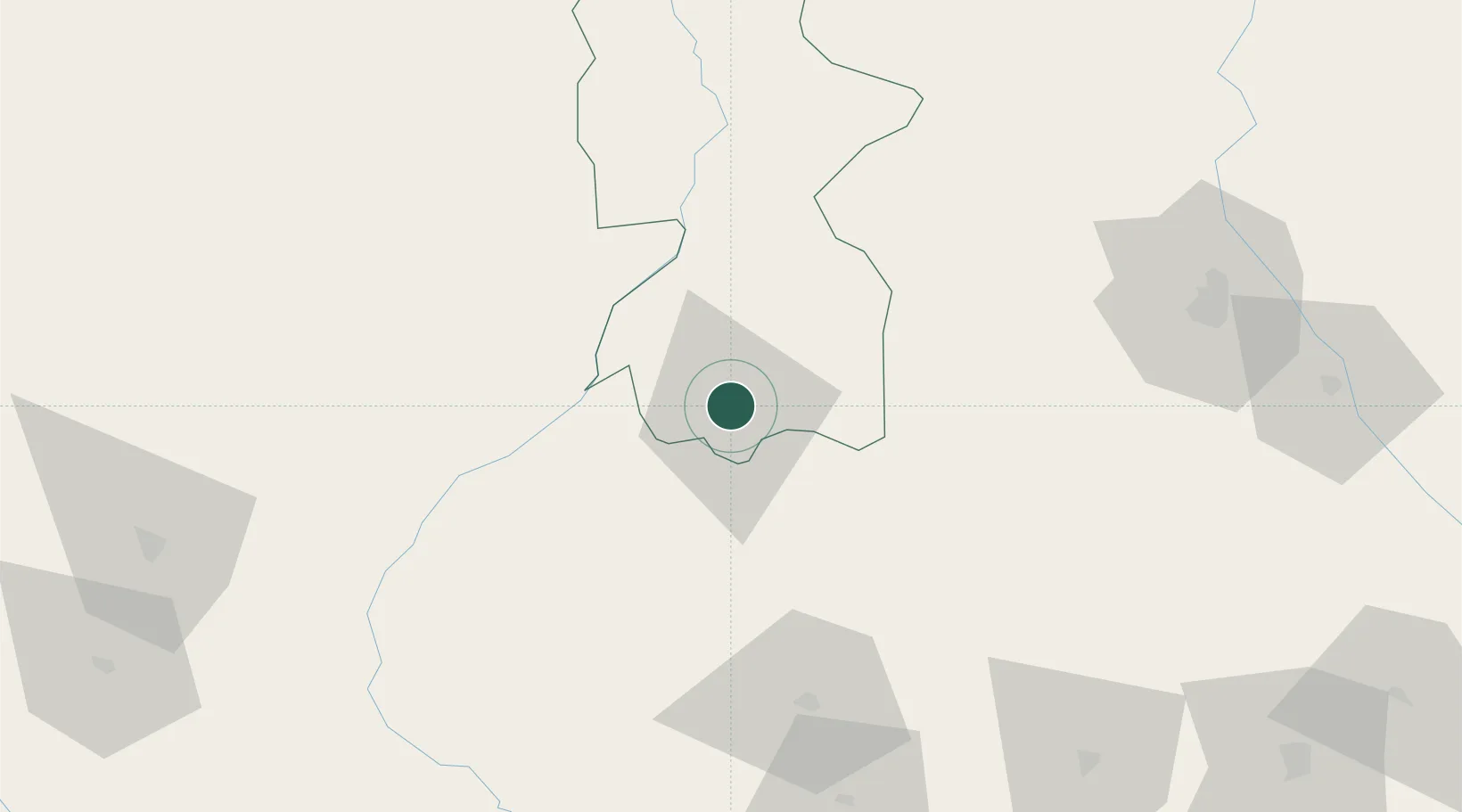
Hub Profile
Place type
Populated place
Region
Koshi
Population
244,750
Time zone
Asia/Kathmandu
Elevation
74 m
Location
Nearby Logistics Neighbours
Cities
- 1Pratapganj38 km
- 2Laukaha Lcs83 km
- 3Siliguri116 km
- 4Kulkuli Lcs117 km
- 5Pipraun Lcs121 km
Ports
- 1Calcutta450 km
- 2Haldia Port503 km
- 3Mongla504 km
- 4Dhamra631 km
- 5Chittagong652 km
Airports
- 1Biratnagar Airport2 km
- 2Bhadrapur Airport80 km
- 3Tumling Tar Airport93 km
- 4Taplejung Airport105 km
- 5Bagdogra Airport106 km
Trade Zones
DatabookThe Record of Consolidated Knowledge
Nepal beyond logistics?