Transport Functions
Multimodal
Hub Profile
Region
NA
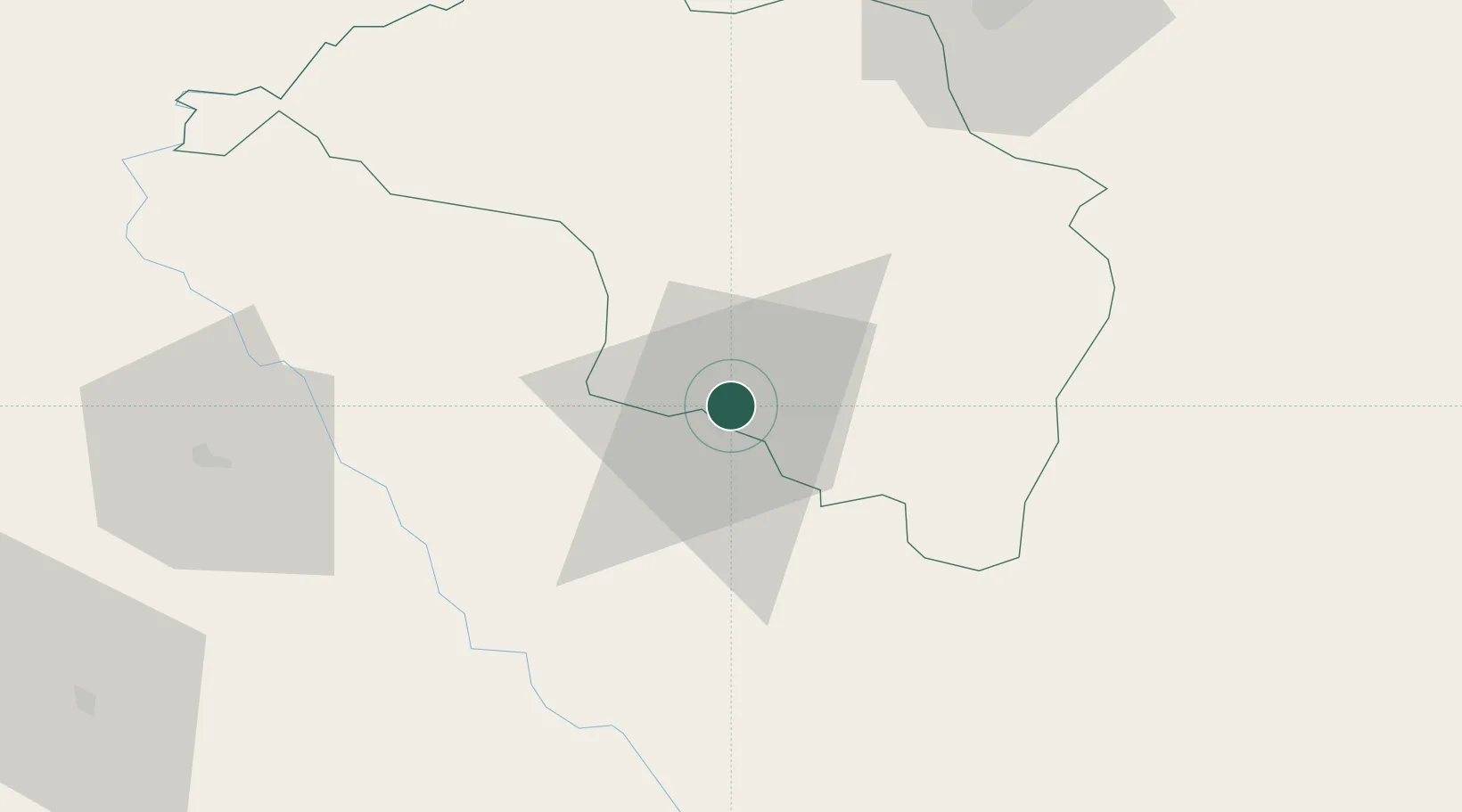
Location
Nearby Logistics Neighbours
Cities
- 1Sikta Lcs76 km
- 2Triveni107 km
- 3Nawalparasi132 km
- 4Pipraun Lcs143 km
- 5Bhairahawa150 km
Ports
- 1Calcutta608 km
- 2Haldia Port644 km
- 3Mongla696 km
- 4Dhamra722 km
- 5Paradip773 km
Airports
- 1Simara Airport20 km
- 2Bharatpur Airport85 km
- 3Tribhuvan International Airport90 km
- 4Kushinagar International Airport101 km
- 5Muzaffarpur Airport109 km
Trade Zones
DatabookThe Record of Consolidated Knowledge
Nepal beyond logistics?