Transport Functions
Port
Road
Hub Profile
Place type
Populated place
Region
Bihar
Time zone
Asia/Kolkata
Elevation
65 m
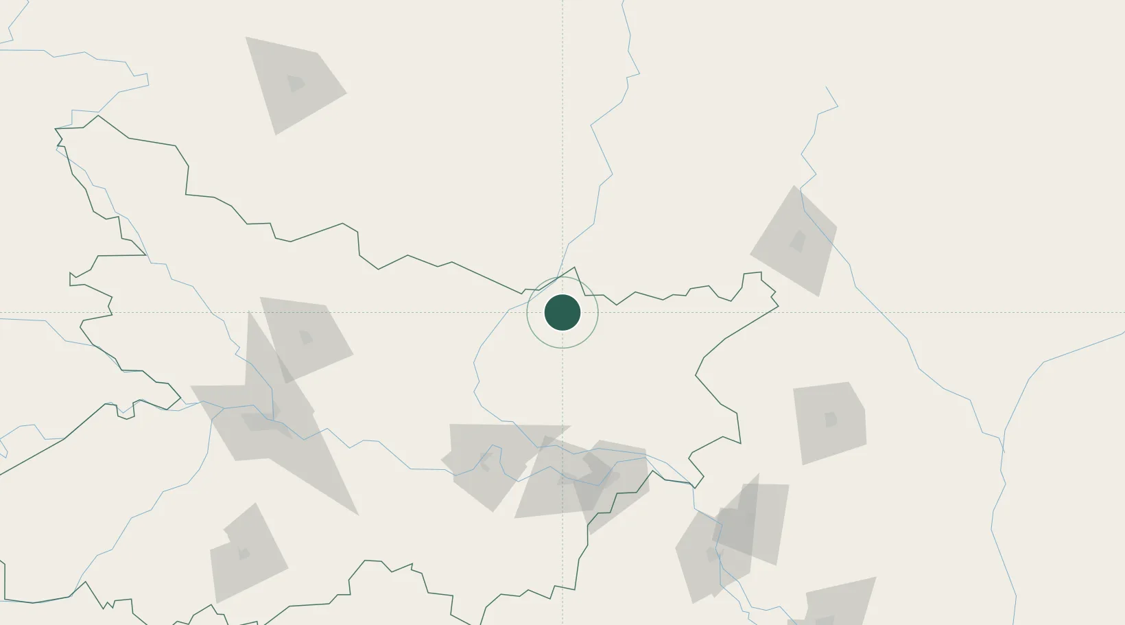
Location
Nearby Logistics Neighbours
Cities
- 1Biratnagar38 km
- 2Laukaha Lcs59 km
- 3Pipraun Lcs88 km
- 4Munger114 km
- 5Raiganj Railway Station Lcs138 km
Ports
- 1Calcutta439 km
- 2Haldia Port490 km
- 3Mongla503 km
- 4Dhamra610 km
- 5Chittagong662 km
Airports
- 1Biratnagar Airport36 km
- 2Darbhanga Airport105 km
- 3Janakpur Airport113 km
- 4Bhadrapur Airport115 km
- 5Tumling Tar Airport115 km
Trade Zones
DatabookThe Record of Consolidated Knowledge
India beyond logistics?