Transport Functions
Port
Rail
Road
Hub Profile
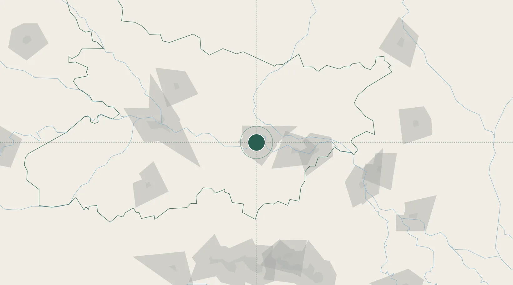
Place type
Populated place
Region
Bihar
Population
213,303
Time zone
Asia/Kolkata
Elevation
49 m
Location
Nearby Logistics Neighbours
Cities
- 1Pipraun Lcs112 km
- 2Pratapganj114 km
- 3Laukaha Lcs130 km
- 4Kodarma (Koderma)134 km
- 5Biratnagar147 km
Ports
- 1Calcutta368 km
- 2Haldia Port409 km
- 3Mongla455 km
- 4Dhamra510 km
- 5Paradip569 km
Airports
- 1Darbhanga Airport106 km
- 2Deoghar Airport107 km
- 3Jay Prakash Narayan Airport140 km
- 4Muzaffarpur Airport142 km
- 5Biratnagar Airport146 km
Trade Zones
DatabookThe Record of Consolidated Knowledge
India beyond logistics?