Medium airport · Nepal

Janakpur AirportVNJP
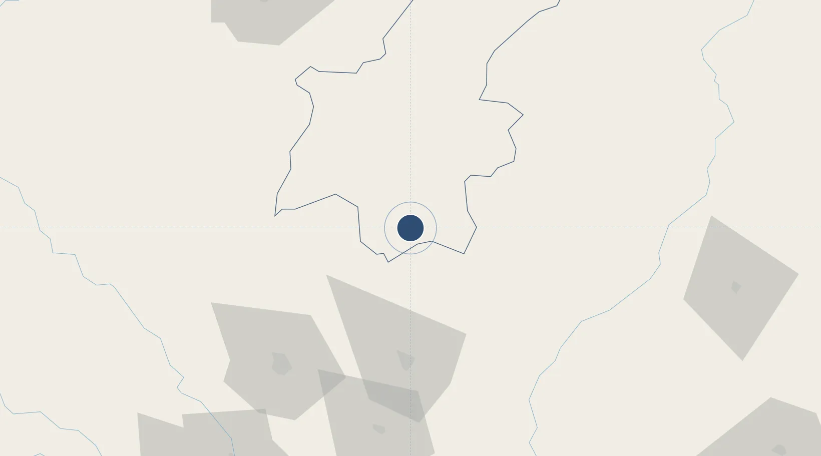
26.7088°, 85.9224°
3,300 ft
Longest runway
1
Runways
256 ft
Elevation

Runway & Layout

Janakpur Airport runway & taxiway layout
Runway & taxiway layout — OpenStreetMap (ODbL) / OurAirports

Radio Frequencies

TWR
122.5 MHz
OurAirports

Navaids

JKP NDB Janakpur 287 kHz
OurAirports

Runways · 1

RunwayDimensions SurfaceTrue headingLit
09/27 3,300 × 100ft Asphalt 090°
OurAirports

Airport Specifications

IATA code
JKR
OurAirports
ICAO code
VNJP
OurAirports
Airport class
Medium airport
OurAirports
Scheduled service
Yes
OurAirports
Runway surface
Asphalt
OurAirports
Served city
Janakpur
OurAirports

Location

Location of VNJP
Natural Earth 10m (public domain) · Janakpur · VNJP · 26.71, 85.92GoogleOSMYandex

Nearby Logistics Neighbours

Airports
  1. 1Darbhanga Airport57 km
  2. 2Muzaffarpur Airport89 km
  3. 3Simara Airport106 km
  4. 4Tribhuvan International Airport123 km
  5. 5Lukla Airport135 km
Nearest neighbours — logibook spatial index (haversine) over the source coordinates
Cities
  1. 1Pipraun Lcs45 km
  2. 2Laukaha Lcs55 km
  3. 3Birgunj ICD110 km
  4. 4Pratapganj113 km
  5. 5Biratnagar138 km
Nearest neighbours — logibook spatial index (haversine) over the source coordinates
Ports
  1. 1Calcutta523 km
  2. 2Haldia Port566 km
  3. 3Mongla601 km
  4. 4Dhamra664 km
  5. 5Paradip721 km
Nearest neighbours — logibook spatial index (haversine) over the source coordinates
Trade Zones
  1. 1Dhanusha Special Economic Zone20 km
  2. 2Dhangadi Special Economic Zone24 km
  3. 3Simara Special Economic Zone47 km
  4. 4Rautahat Special Economic Zone64 km
  5. 5Panchkhal Special Economic Zone108 km
Nearest neighbours — logibook spatial index (haversine) over the source coordinates
DatabookThe Record of Consolidated Knowledge
Nepal beyond logistics?
Browse databook

All Sources

AirportsOurAirports
Public domain
Portsthe NGA World Port Index
Public domain (US gov)
LocationsUN/LOCODE
UN/LOCODE — free
Trade Zonesthe World Bank SEZ database
CC BY 4.0
Trade ZonesOpen Zone Map
CC BY
InfrastructureOpenStreetMap
ODbL 1.0
← Nepal airports