Transport Functions
Multimodal
Hub Profile
Region
BR
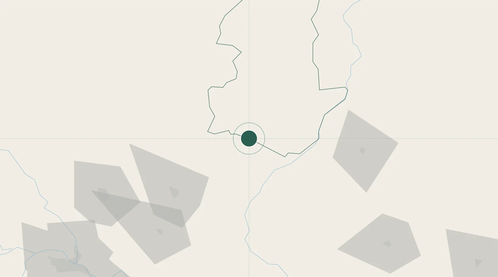
Location
Nearby Logistics Neighbours
Cities
- 1Pipraun Lcs44 km
- 2Pratapganj59 km
- 3Biratnagar83 km
- 4Munger130 km
- 5Birgunj ICD166 km
Ports
- 1Calcutta484 km
- 2Haldia Port531 km
- 3Mongla555 km
- 4Dhamra640 km
- 5Paradip699 km
Airports
- 1Janakpur Airport55 km
- 2Darbhanga Airport66 km
- 3Biratnagar Airport81 km
- 4Tumling Tar Airport113 km
- 5Muzaffarpur Airport123 km
Trade Zones
DatabookThe Record of Consolidated Knowledge
India beyond logistics?