Transport Functions
Multimodal
Hub Profile
Place type
Populated place
Region
Jharkhand
Population
45,508
Time zone
Asia/Kolkata
Elevation
129 m
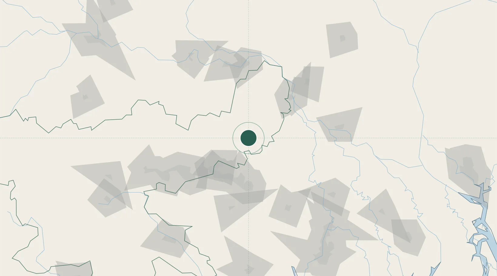
Location
Nearby Logistics Neighbours
Cities
- 1Durgapur83 km
- 2Bankura112 km
- 3Bardhaman125 km
- 4Munger153 km
- 5Kodarma (Koderma)174 km
Ports
- 1Calcutta215 km
- 2Haldia Port259 km
- 3Mongla306 km
- 4Dhamra382 km
- 5Paradip446 km
Airports
- 1Deoghar Airport65 km
- 2Kazi Nazrul Islam Airport68 km
- 3Panagarh Air Force Station85 km
- 4Dhanbad Airport99 km
- 5Shah Makhdum Airport135 km
Trade Zones
- 1Chapainawabganj Economic Zone105 km
- 2Rajshahi Economic Zone136 km
- 3Sapahar Economic Zone, Naogaon163 km
- 4Natore Economic Zone167 km
- 5Ishwardi Export Processing Zone177 km
DatabookThe Record of Consolidated Knowledge
India beyond logistics?