Diversified Zone · Nepal

Nepalgunj Special Economic Zone Under Development
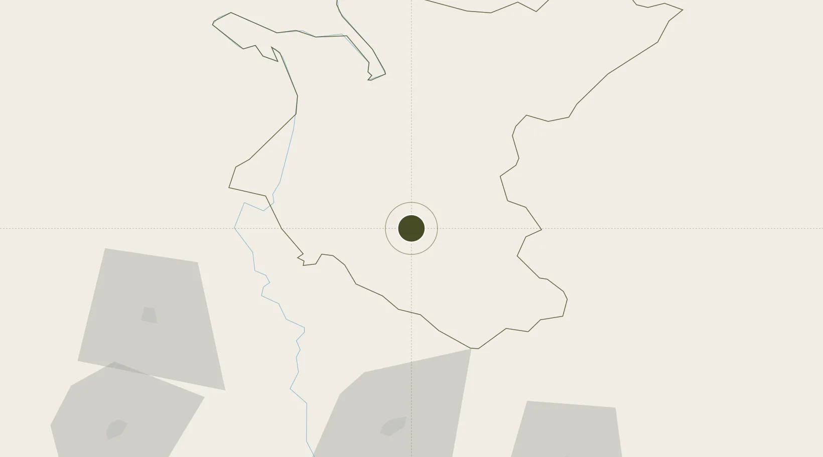
28.2524°, 81.6588°
348 ha
Zone area
922.4 km
Nearest port
16.6 km
Nearest airport

Gateway access

Nearest neighbours — logibook spatial index (haversine) over the source coordinates

Zone profile

Zone type
Diversified Zone
Open Zone Map
Region
Bheri
Open Zone Map
Status
Under Development
Open Zone Map
Management
Public
Open Zone Map
Operator
Special Economic Zone Authority, Nepal
Open Zone Map
Legal framework
Special Economic Zone Act, 2073 (2016).
Open Zone Map

Location

Location of ozm-2904
Natural Earth 10m (public domain) · Bheri · ozm-2904 · 28.25, 81.66GoogleOSMYandex

Nearby Logistics Neighbours

Ports
  1. 1Calcutta922 km
  2. 2Haldia Port948 km
  3. 3Dhamra986 km
  4. 4Paradip1023 km
  5. 5Mongla1024 km
Nearest neighbours — logibook spatial index (haversine) over the source coordinates
Airports
  1. 1Nepalgunj Airport17 km
  2. 2Surkhet Airport37 km
  3. 3Rukum Salle Airport88 km
  4. 4Shravasti Airport91 km
  5. 5Jumla Airport125 km
Nearest neighbours — logibook spatial index (haversine) over the source coordinates
Cities
  1. 1HCL SEZ/Lucknow175 km
  2. 2Bhairahawa195 km
  3. 3Sitarganj206 km
  4. 4Nawalparasi213 km
  5. 5Sidcul Icd/Pantnagar227 km
Nearest neighbours — logibook spatial index (haversine) over the source coordinates
Trade Zones
  1. 1Jumla Special Economic Zone132 km
  2. 2UP Electronics Corporation Limited171 km
  3. 3Bhairahawa Special Economic Zone197 km
  4. 4Kaspilvastu Special Economic Zone289 km
  5. 5Moradabad Special Economic Zone296 km
Nearest neighbours — logibook spatial index (haversine) over the source coordinates
DatabookThe Record of Consolidated Knowledge
Nepal beyond logistics?
Browse databook

All Sources

Trade ZonesOpen Zone Map
CC BY
Portsthe NGA World Port Index
Public domain (US gov)
AirportsOurAirports
Public domain
LocationsUN/LOCODE
UN/LOCODE — free
← Nepal trade zones