Transport Functions
Multimodal
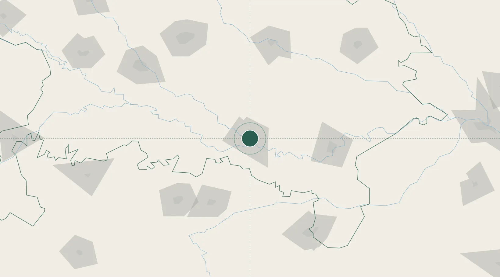
Hub Profile
Region
UP
Location
Nearby Logistics Neighbours
Cities
- 1Kakarahawa Lcs7 km
- 2Bhadohi72 km
- 3Jaunpur89 km
- 4Varanasi116 km
- 5Thootibari Lcs155 km
Ports
- 1Calcutta733 km
- 2Dhamra734 km
- 3Haldia Port740 km
- 4Gopalpur755 km
- 5Paradip760 km
Airports
Trade Zones
DatabookThe Record of Consolidated Knowledge
India beyond logistics?