Transport Functions
Rail
Road
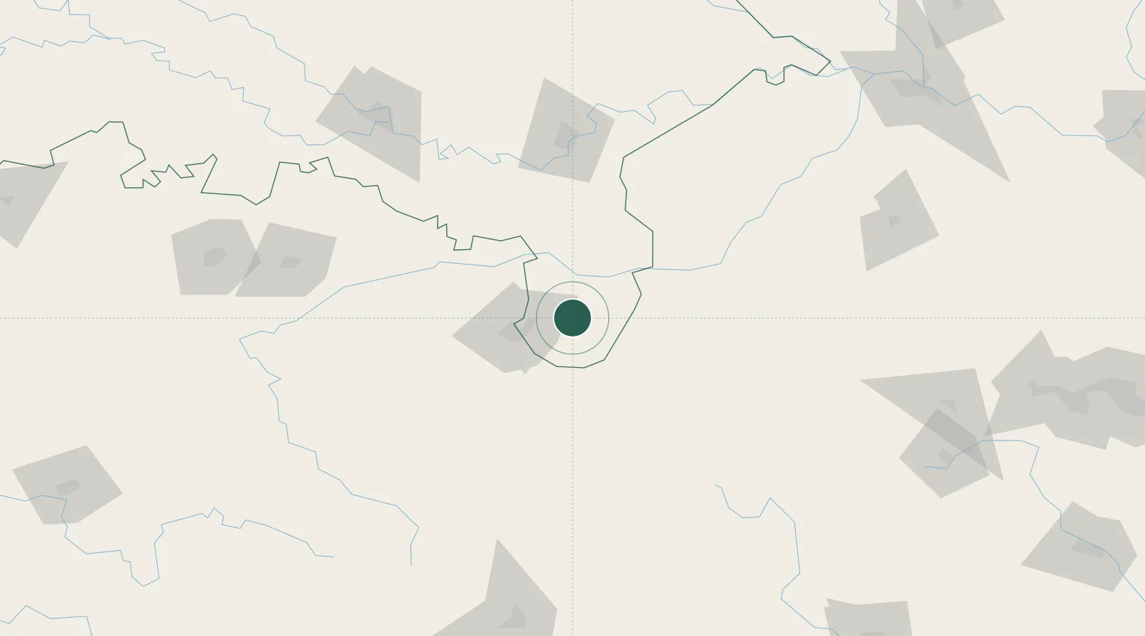
Hub Profile
Region
UP
Location
Nearby Logistics Neighbours
Cities
- 1Jahanabad121 km
- 2Varanasi124 km
- 3Bhadohi142 km
- 4Jaunpur172 km
- 5Kakarahawa Lcs176 km
Ports
- 1Dhamra553 km
- 2Haldia Port571 km
- 3Calcutta572 km
- 4Paradip578 km
- 5Gopalpur582 km
Airports
- 1Maa Mahamaya Airport138 km
- 2Lal Bahadur Shastri International Airport139 km
- 3Rewa Airport, Chorhata, REWA186 km
- 4Prayagraj Airport189 km
- 5Gaya Airport203 km
Trade Zones
DatabookThe Record of Consolidated Knowledge
India beyond logistics?