UN/LOCODE hub · India
INJBL

E-Complex-SEZ/Amreli

21.6167°, 71.2333°
1
Transport functions

Transport Functions

Multimodal
UN/LOCODE

Hub Profile

Region
GJ
GeoNames

Location

Location of INJBL
Natural Earth 10m (public domain) · GJ · INJBL · 21.62, 71.23GoogleOSMYandex

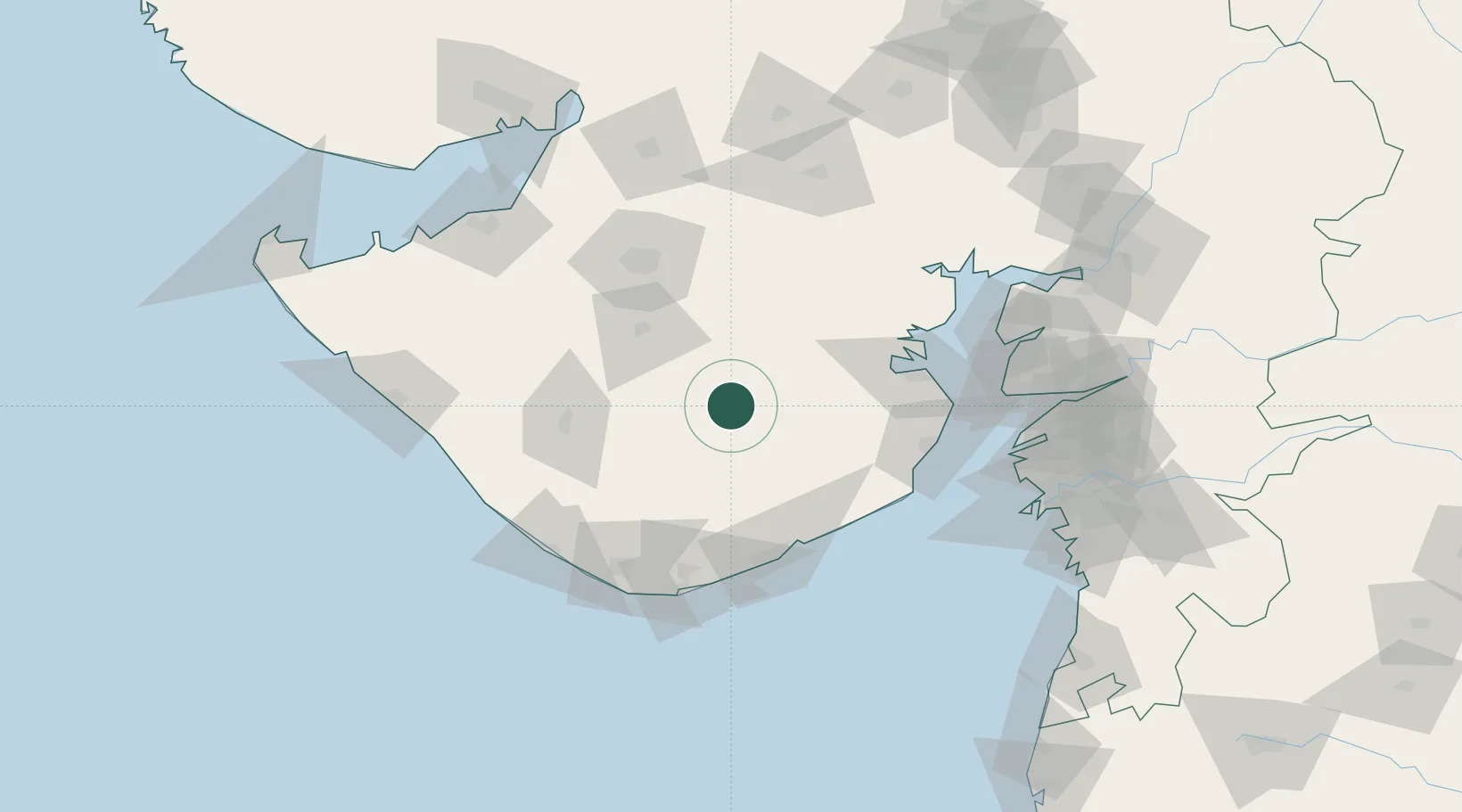
Nearby Logistics Neighbours

Cities
  1. 1Rajula79 km
  2. 2Junagadh80 km
  3. 3Port Pipavav83 km
  4. 4Jafarabad86 km
  5. 5Rajkot88 km
Nearest neighbours — logibook spatial index (haversine) over the source coordinates
Ports
  1. 1Pipavav Bandar83 km
  2. 2Jafarabad85 km
  3. 3Bhavnagar105 km
  4. 4Veraval120 km
  5. 5Dahej135 km
Nearest neighbours — logibook spatial index (haversine) over the source coordinates
Airports
  1. 1Rajkot International Airport87 km
  2. 2Rajkot Airport90 km
  3. 3Bhavnagar Airport100 km
  4. 4Keshod Airport105 km
  5. 5Diu Airport105 km
Nearest neighbours — logibook spatial index (haversine) over the source coordinates
Trade Zones
  1. 1Dahej SEZ Ltd.140 km
  2. 2Reliance Jamnagar Infrastructure Ltd.155 km
  3. 3Gujarat Hira Bourse163 km
  4. 4Sterling SEZ Pvt.Ltd.172 km
  5. 5Jubilant Infrastructure Ltd.174 km
Nearest neighbours — logibook spatial index (haversine) over the source coordinates
DatabookThe Record of Consolidated Knowledge
India beyond logistics?
Browse databook

All Sources

LocationsUN/LOCODE
UN/LOCODE — free
Portsthe NGA World Port Index
Public domain (US gov)
AirportsOurAirports
Public domain
Trade Zonesthe World Bank SEZ database
CC BY 4.0
Trade ZonesOpen Zone Map
CC BY
← India locations