Channel & Berth Profile
Facilities & Capabilities
Container—
Ro-Ro—
Liquid bulk—
Dry bulk—
Oil terminal—
Break bulk—
Dry dock—
Repairs—
Bunkering—
Rail link—
Dangerous cargo—
ISPS security—
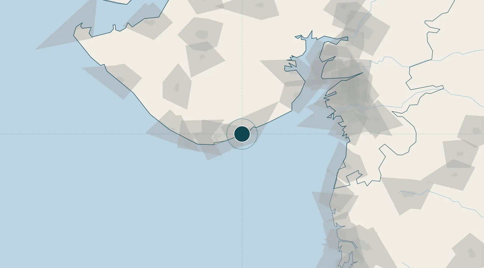
Harbour Specifications
Harbour type
Open Roadstead
Water body
Arabian Sea; Indian Ocean
Location
Nearby Logistics Neighbours
Ports
- 1Pipavav Bandar15 km
- 2Veraval106 km
- 3Hazira132 km
- 4Bhavnagar133 km
- 5Magdalla145 km
Cities
- 1Port Pipavav15 km
- 2Rajula15 km
- 3Pipavav (Victor) Port70 km
- 4Mul Dwårka76 km
- 5E-Complex-SEZ/Amreli85 km
Airports
- 1Diu Airport51 km
- 2Keshod Airport126 km
- 3Bhavnagar Airport129 km
- 4Surat International Airport144 km
- 5Daman Airport159 km
Trade Zones
- 1Gujarat Hira Bourse145 km
- 2Dahej SEZ Ltd.156 km
- 3Surat Special Economic Zone156 km
- 4Surat Apparel Park158 km
- 5HBS Pharma SEZ Private Limited, Bharuch181 km
DatabookThe Record of Consolidated Knowledge
India beyond logistics?