Diversified Zone · India

Dahej SEZ Ltd. Active
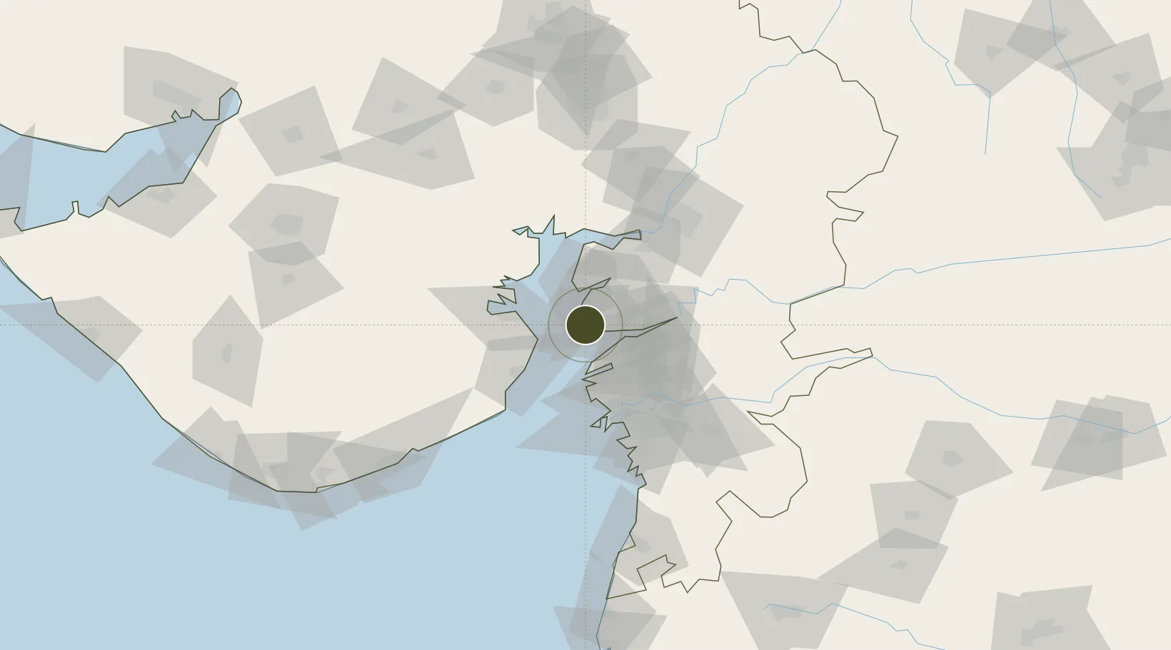
21.7120°, 72.5839°
1,732 ha
Zone area
5.4 km
Nearest port
41.4 km
Nearest airport

Gateway access

Nearest neighbours — logibook spatial index (haversine) over the source coordinates

Zone profile

Zone type
Diversified Zone
Open Zone Map
Region
Gujarat
Open Zone Map
Status
Active
Open Zone Map
Management
Public-Private Partnership
Open Zone Map
Operator
Gujarat Industrial Development Corporation, ONGC
Open Zone Map
Legal framework
Gujarat Special Economic Zone ACT, 2004., The Special Economic Zones Act, 2005
Open Zone Map

Location

Location of ozm-2130
Natural Earth 10m (public domain) · Gujarat · ozm-2130 · 21.71, 72.58GoogleOSMYandex

Nearby Logistics Neighbours

Ports
  1. 1Dahej5 km
  2. 2Bhavnagar37 km
  3. 3Magdalla65 km
  4. 4Hazira70 km
  5. 5Pipavav Bandar142 km
Nearest neighbours — logibook spatial index (haversine) over the source coordinates
Airports
  1. 1Bhavnagar Airport41 km
  2. 2Surat International Airport68 km
  3. 3Vadodara International Airport96 km
  4. 4Daman Airport145 km
  5. 5Sardar Vallabh Patel International Airport152 km
Nearest neighbours — logibook spatial index (haversine) over the source coordinates
Cities
  1. 1Dahez SEZ1 km
  2. 2Dishman-Pharmaceutical-SEZ/Kalyangadh30 km
  3. 3Choga33 km
  4. 4Sterling-SEZ/Bharuch40 km
  5. 5Bharuch40 km
Nearest neighbours — logibook spatial index (haversine) over the source coordinates
Trade Zones
  1. 1Jubilant Infrastructure Ltd.35 km
  2. 2HBS Pharma SEZ Private Limited, Bharuch46 km
  3. 3Sterling SEZ Pvt.Ltd.56 km
  4. 4Gujarat Hira Bourse60 km
  5. 5Surat Special Economic Zone76 km
Nearest neighbours — logibook spatial index (haversine) over the source coordinates
DatabookThe Record of Consolidated Knowledge
India beyond logistics?
Browse databook

All Sources

Trade ZonesOpen Zone Map
CC BY
Portsthe NGA World Port Index
Public domain (US gov)
AirportsOurAirports
Public domain
LocationsUN/LOCODE
UN/LOCODE — free
← India trade zones