Transport Functions
Port
Road
Hub Profile
Place type
Populated place
Region
Gujarat
Population
27,167
Time zone
Asia/Kolkata
Elevation
19 m
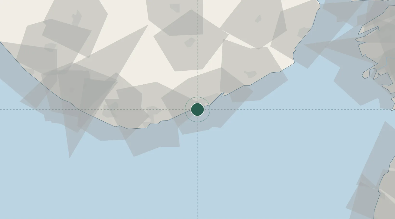
Location
Nearby Logistics Neighbours
Cities
- 1Port Pipavav17 km
- 2Rajula17 km
- 3Pipavav (Victor) Port70 km
- 4Mul Dwårka74 km
- 5E-Complex-SEZ/Amreli86 km
Ports
- 1Pipavav Bandar17 km
- 2Veraval104 km
- 3Hazira134 km
- 4Bhavnagar136 km
- 5Magdalla147 km
Airports
- 1Diu Airport49 km
- 2Keshod Airport125 km
- 3Bhavnagar Airport131 km
- 4Surat International Airport146 km
- 5Daman Airport160 km
Trade Zones
- 1Gujarat Hira Bourse147 km
- 2Surat Special Economic Zone158 km
- 3Dahej SEZ Ltd.158 km
- 4Surat Apparel Park160 km
- 5HBS Pharma SEZ Private Limited, Bharuch184 km
DatabookThe Record of Consolidated Knowledge
India beyond logistics?