UN/LOCODE hub · India
INPPV
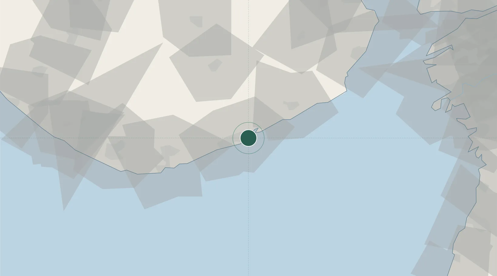
Port Pipavav
20.9203°, 71.5108°
1
Transport functions
1
Container terminals
Transport Functions
Port
Hub Profile
Region
GJ
Logistics facilities
2
Container terminals
1
Location
Nearby Logistics Neighbours
Cities
- 1Rajula4 km
- 2Jafarabad17 km
- 3Pipavav (Victor) Port65 km
- 4E-Complex-SEZ/Amreli83 km
- 5Mul Dwårka90 km
Ports
- 1Pipavav Bandar1 km
- 2Jafarabad15 km
- 3Hazira118 km
- 4Veraval119 km
- 5Bhavnagar120 km
Airports
- 1Diu Airport65 km
- 2Bhavnagar Airport116 km
- 3Surat International Airport130 km
- 4Keshod Airport136 km
- 5Daman Airport149 km
Trade Zones
- 1Gujarat Hira Bourse131 km
- 2Dahej SEZ Ltd.142 km
- 3Surat Special Economic Zone142 km
- 4Surat Apparel Park144 km
- 5HBS Pharma SEZ Private Limited, Bharuch167 km
DatabookThe Record of Consolidated Knowledge
India beyond logistics?