Transport Functions
Multimodal
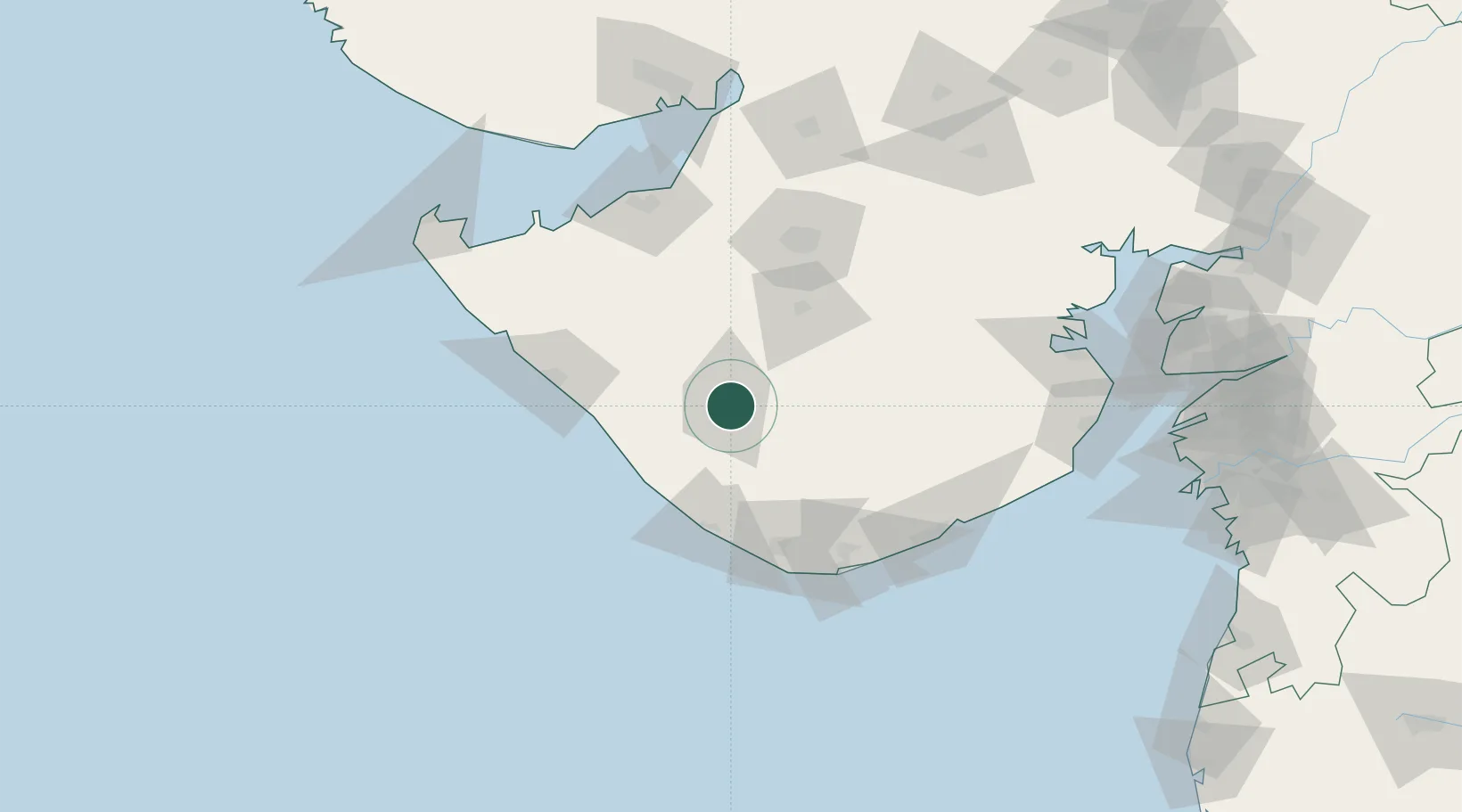
Hub Profile
Place type
Populated place
Region
Gujarat
Population
319,462
Time zone
Asia/Kolkata
Elevation
97 m
Location
Nearby Logistics Neighbours
Cities
- 1Jodhpur61 km
- 2E-Complex-SEZ/Amreli80 km
- 3Mul Dwårka88 km
- 4Rajkot91 km
- 5Reliance SEZ/Jamnagar113 km
Airports
- 1Keshod Airport30 km
- 2Porbandar Airport85 km
- 3Rajkot Airport94 km
- 4Diu Airport101 km
- 5Rajkot International Airport113 km
Trade Zones
DatabookThe Record of Consolidated Knowledge
India beyond logistics?