Medium airport · India

Bhavnagar AirportVABV
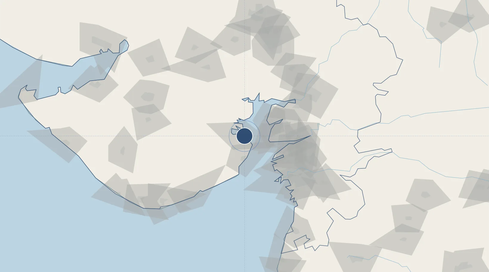
21.7522°, 72.1852°
6,300 ft
Longest runway
1
Runways
44 ft
Elevation

Runway & Layout

Bhavnagar Airport runway & taxiway layout
Runway & taxiway layout — OpenStreetMap (ODbL) / OurAirports

Radio Frequencies

TWR
120.8 MHz
OurAirports

Navaids

BV NDB Bhavnagar 243 kHz
BVR VOR-DME Bhavnagar 114.10 MHz
OurAirports

Runways · 1

RunwayDimensions SurfaceTrue headingLit
07/25 6,300 × 150ft Asphalt 068°
OurAirports

Airport Specifications

IATA code
BHU
OurAirports
ICAO code
VABV
OurAirports
Airport class
Medium airport
OurAirports
Scheduled service
Yes
OurAirports
Runway surface
Asphalt
OurAirports
Served city
Bhavnagar
OurAirports

Location

Location of VABV
Natural Earth 10m (public domain) · Gujarat · VABV · 21.75, 72.19GoogleOSMYandex

Nearby Logistics Neighbours

Airports
  1. 1Surat International Airport91 km
  2. 2Vadodara International Airport125 km
  3. 3Rajkot International Airport137 km
  4. 4Sardar Vallabh Patel International Airport154 km
  5. 5Rajkot Airport158 km
Nearest neighbours — logibook spatial index (haversine) over the source coordinates
Cities
  1. 1Bhavnagar6 km
  2. 2Choga11 km
  3. 3Mithivirdi32 km
  4. 4Dahez SEZ42 km
  5. 5Dishman-Pharmaceutical-SEZ/Kalyangadh68 km
Nearest neighbours — logibook spatial index (haversine) over the source coordinates
Ports
  1. 1Bhavnagar5 km
  2. 2Dahej36 km
  3. 3Hazira88 km
  4. 4Magdalla89 km
  5. 5Pipavav Bandar116 km
Nearest neighbours — logibook spatial index (haversine) over the source coordinates
Trade Zones
  1. 1Dahej SEZ Ltd.41 km
  2. 2Jubilant Infrastructure Ltd.75 km
  3. 3Sterling SEZ Pvt.Ltd.78 km
  4. 4Gujarat Hira Bourse85 km
  5. 5HBS Pharma SEZ Private Limited, Bharuch86 km
Nearest neighbours — logibook spatial index (haversine) over the source coordinates
DatabookThe Record of Consolidated Knowledge
India beyond logistics?
Browse databook

All Sources

AirportsOurAirports
Public domain
Portsthe NGA World Port Index
Public domain (US gov)
LocationsUN/LOCODE
UN/LOCODE — free
Trade Zonesthe World Bank SEZ database
CC BY 4.0
Trade ZonesOpen Zone Map
CC BY
InfrastructureOpenStreetMap
ODbL 1.0
← India airports