Channel & Berth Profile
Pilotage, Tugs & Services
Pilotage compulsoryYES
Pilotage availableYES
Tug assistanceYES
Potable waterYES
MedicalYES
Facilities & Capabilities
Container—
Ro-Ro—
Liquid bulk—
Dry bulk—
Oil terminal—
Break bulk—
Dry dock—
RepairsNO
Bunkering—
Rail linkYES
Dangerous cargo—
ISPS security—
Harbour Specifications
Harbour size
Very Small
Harbour type
Open Roadstead
Water body
Arabian Sea; Indian Ocean
Tidal range
7 m
Overhead limit
Yes
Pilotage
Yes
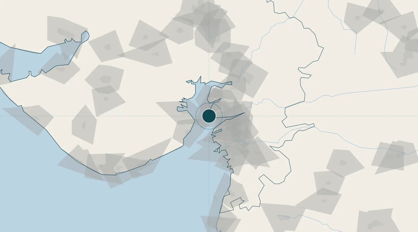
Location
Nearby Logistics Neighbours
Ports
- 1Bhavnagar32 km
- 2Magdalla65 km
- 3Hazira69 km
- 4Pipavav Bandar137 km
- 5Jafarabad151 km
Cities
- 1Dahez SEZ5 km
- 2Choga28 km
- 3Dishman-Pharmaceutical-SEZ/Kalyangadh35 km
- 4Mithivirdi40 km
- 5Bhavnagar42 km
Airports
- 1Bhavnagar Airport36 km
- 2Surat International Airport69 km
- 3Vadodara International Airport101 km
- 4Daman Airport144 km
- 5Sardar Vallabh Patel International Airport154 km
Trade Zones
DatabookThe Record of Consolidated Knowledge
India beyond logistics?