Seaport · India
Pipavav BandarINPAV
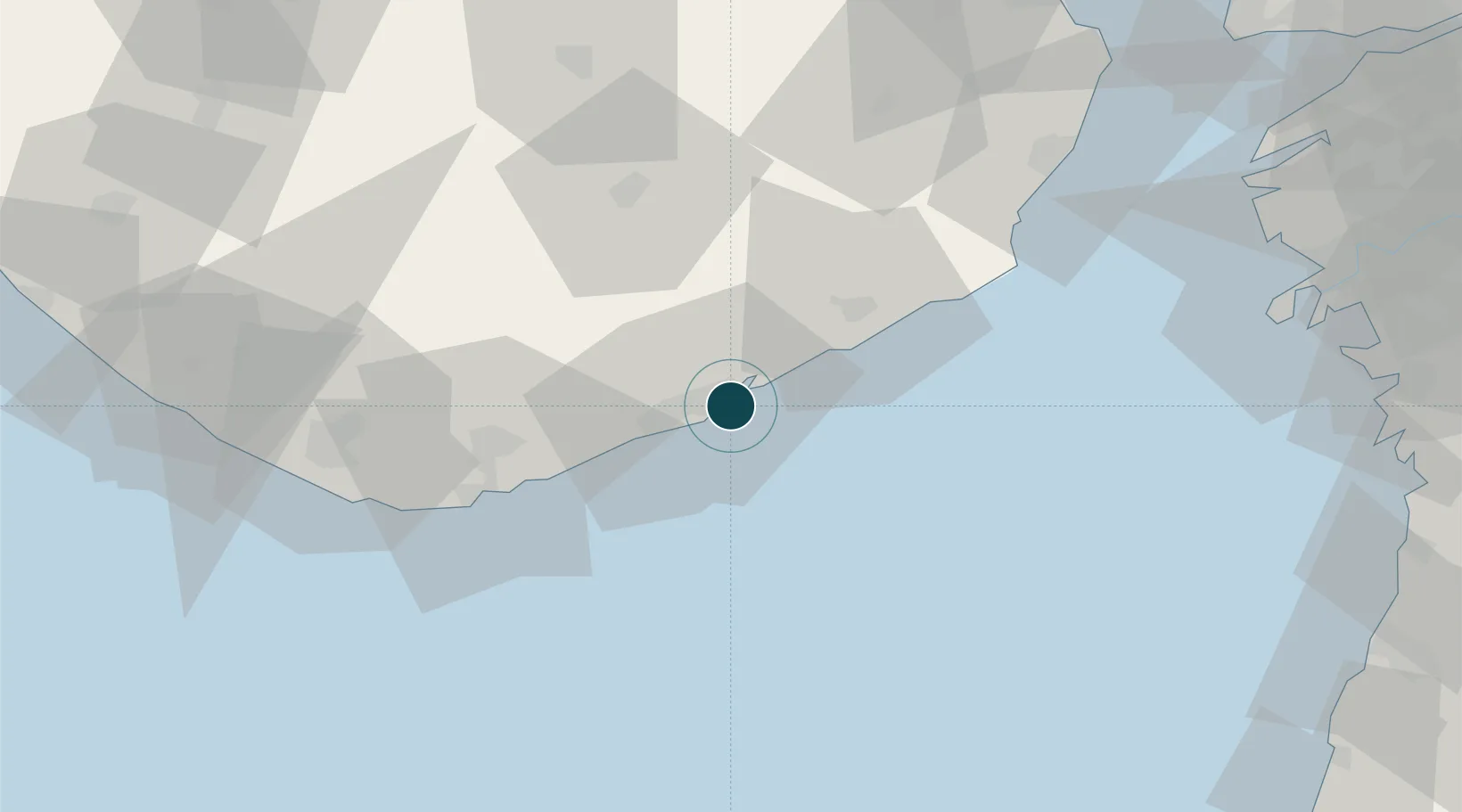
20.9167°, 71.5167°
14.0 m
Channel depth
132.0
Port liner connectivity
Channel & Berth Profile
Pilotage, Tugs & Services
Pilotage compulsoryYES
Pilotage availableYES
Pilotage advisableYES
Local assistanceYES
Tug assistanceYES
Potable waterYES
MedicalYES
Garbage disposalYES
Facilities & Capabilities
Container—
Ro-Ro—
Liquid bulk—
Dry bulk—
Oil terminal—
Break bulk—
Dry dockNO
Repairs—
BunkeringYES
Rail linkYES
Dangerous cargo—
ISPS security—
Harbour Specifications
Harbour size
Small
Harbour type
Coastal (Natural)
Shelter
Good
Water body
Arabian Sea; Indian Ocean
Tidal range
3 m
Overhead limit
No
Pilotage
Yes
Liner Connectivity
132
PLSCI
Port Liner Shipping Connectivity Index for Pipavav Bandar, as published by UNCTAD for the latest available quarter. Higher values indicate stronger scheduled liner-shipping integration.
Shown relative to the highest per-port PLSCI in the dataset (1,657.9).
Location
Nearby Logistics Neighbours
Cities
- 1Port Pipavav1 km
- 2Rajula4 km
- 3Jafarabad17 km
- 4E-Complex-SEZ/Amreli83 km
- 5Mul Dwårka90 km
Airports
- 1Diu Airport66 km
- 2Bhavnagar Airport116 km
- 3Surat International Airport129 km
- 4Keshod Airport137 km
- 5Daman Airport148 km
Trade Zones
- 1Gujarat Hira Bourse130 km
- 2Surat Special Economic Zone142 km
- 3Dahej SEZ Ltd.142 km
- 4Surat Apparel Park144 km
- 5HBS Pharma SEZ Private Limited, Bharuch166 km
DatabookThe Record of Consolidated Knowledge
India beyond logistics?