Specialized Zone · India

Gujarat Hira Bourse Active
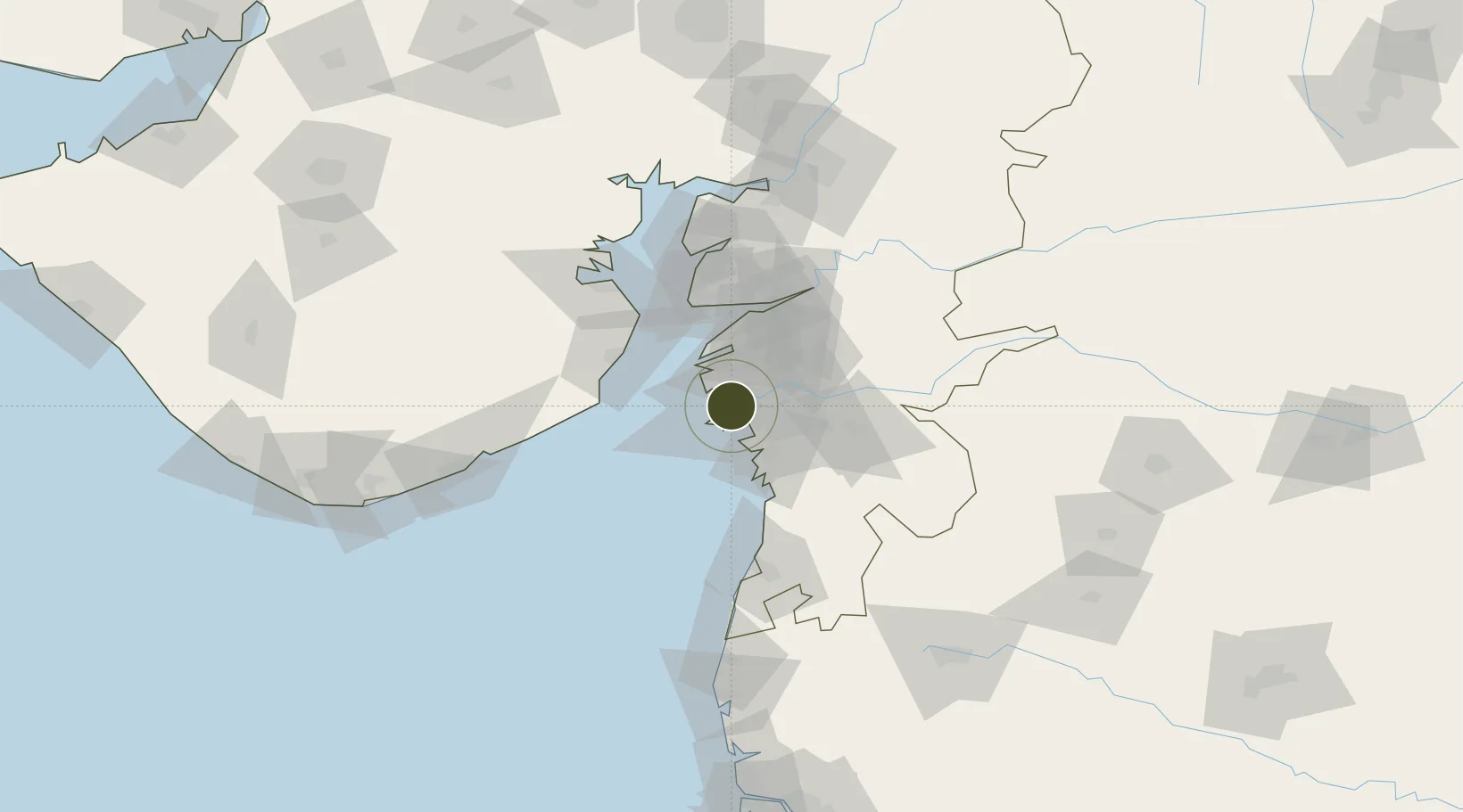
21.1902°, 72.7375°
74 ha
Zone area
4.7 km
Nearest port
8.3 km
Nearest airport

Gateway access

Nearest neighbours — logibook spatial index (haversine) over the source coordinates

Zone profile

Zone type
Specialized Zone
Open Zone Map
Specialization
Manufacturing
Open Zone Map
Region
Gujarat
Open Zone Map
Status
Active
Open Zone Map
Management
Public
Open Zone Map
Operator
Gujarat Hira Bourse Public incorporated
Open Zone Map
Legal framework
Gujarat Special Economic Zone ACT, 2004., The Special Economic Zones Act, 2005
Open Zone Map

Location

Location of ozm-2284
Natural Earth 10m (public domain) · Gujarat · ozm-2284 · 21.19, 72.74GoogleOSMYandex

Nearby Logistics Neighbours

Ports
  1. 1Magdalla5 km
  2. 2Hazira16 km
  3. 3Dahej61 km
  4. 4Bhavnagar83 km
  5. 5Pipavav Bandar130 km
Nearest neighbours — logibook spatial index (haversine) over the source coordinates
Airports
  1. 1Surat International Airport8 km
  2. 2Bhavnagar Airport85 km
  3. 3Daman Airport85 km
  4. 4Vadodara International Airport137 km
  5. 5Nashik International Airport171 km
Nearest neighbours — logibook spatial index (haversine) over the source coordinates
Cities
  1. 1Kril ICD4 km
  2. 2SHB ICD/Surat9 km
  3. 3Surat10 km
  4. 4Sap-SEZ/Surat10 km
  5. 5Ghb-SEZ/Surat10 km
Nearest neighbours — logibook spatial index (haversine) over the source coordinates
Trade Zones
  1. 1Surat Special Economic Zone18 km
  2. 2Surat Apparel Park20 km
  3. 3HBS Pharma SEZ Private Limited, Bharuch45 km
  4. 4Dahej SEZ Ltd.60 km
  5. 5Jubilant Infrastructure Ltd.69 km
Nearest neighbours — logibook spatial index (haversine) over the source coordinates
DatabookThe Record of Consolidated Knowledge
India beyond logistics?
Browse databook

All Sources

Trade ZonesOpen Zone Map
CC BY
Portsthe NGA World Port Index
Public domain (US gov)
AirportsOurAirports
Public domain
LocationsUN/LOCODE
UN/LOCODE — free
← India trade zones