Channel & Berth Profile
Pilotage, Tugs & Services
Pilotage compulsoryYES
Pilotage availableYES
Pilotage advisableYES
Local assistanceYES
Tug assistanceYES
Salvage tugsYES
Shore powerYES
Potable waterYES
Diesel bunkersYES
MedicalYES
Facilities & Capabilities
Container—
Ro-Ro—
Liquid bulk—
Dry bulk—
Oil terminal—
Break bulk—
Dry dockNO
RepairsNO
BunkeringYES
Rail linkYES
Dangerous cargo—
ISPS security—
Harbour Specifications
Harbour size
Small
Harbour type
River (Tide Gates)
Shelter
Good
Water body
Arabian Sea; Indian Ocean
Tidal range
12 m
Overhead limit
No
Pilotage
Yes
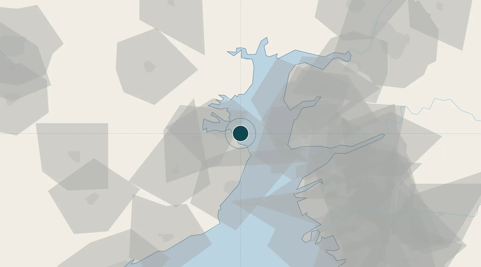
Location
Nearby Logistics Neighbours
Ports
- 1Dahej32 km
- 2Hazira87 km
- 3Magdalla87 km
- 4Pipavav Bandar120 km
- 5Jafarabad133 km
Cities
- 1Choga10 km
- 2Mithivirdi33 km
- 3Dahez SEZ37 km
- 4Dishman-Pharmaceutical-SEZ/Kalyangadh63 km
- 5Sterling-SEZ/Bharuch76 km
Airports
Trade Zones
DatabookThe Record of Consolidated Knowledge
India beyond logistics?