Specialized Zone · India

Jubilant Infrastructure Ltd. Active
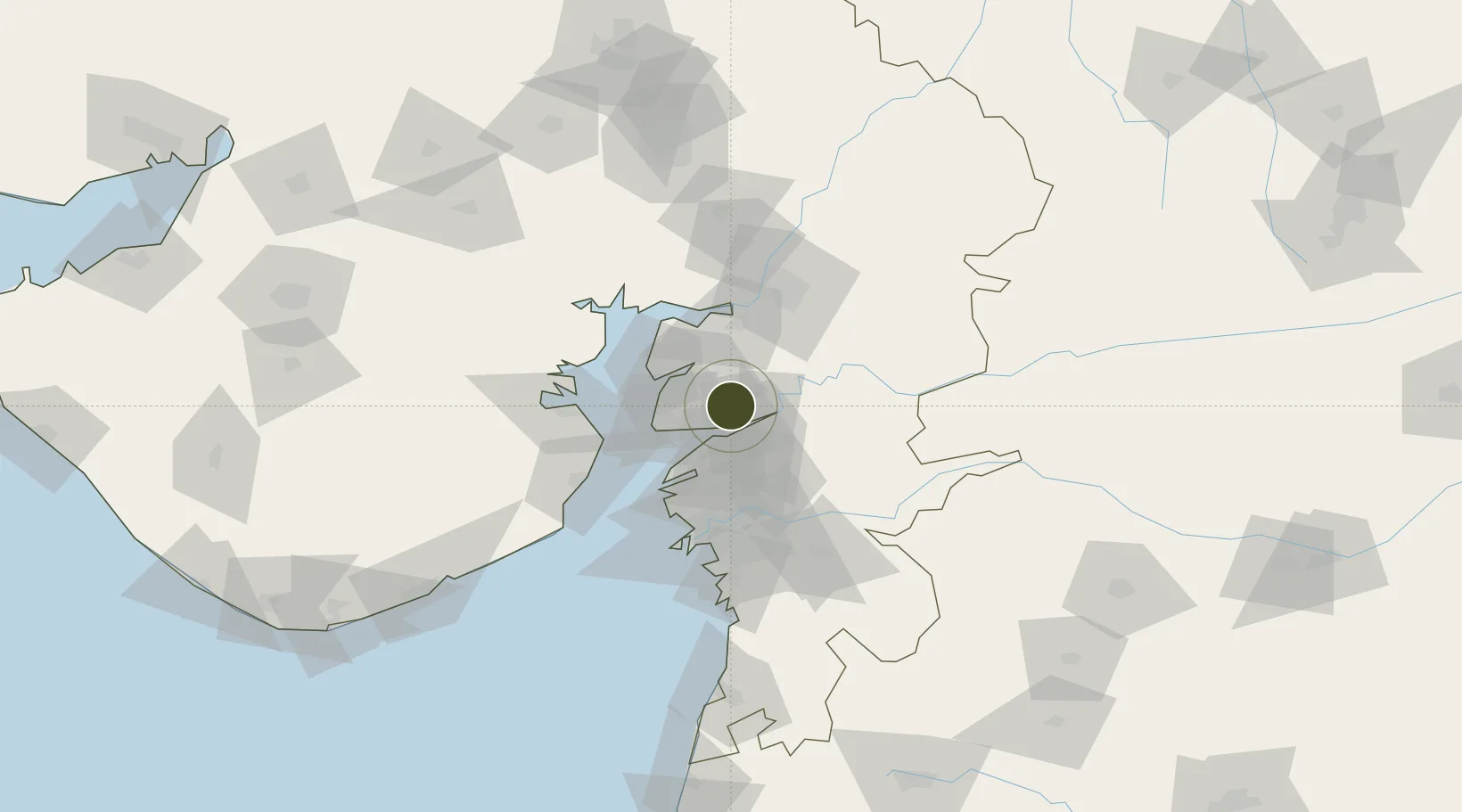
21.7865°, 72.9086°
125 ha
Zone area
39.9 km
Nearest port
69.3 km
Nearest airport

Gateway access

Nearest neighbours — logibook spatial index (haversine) over the source coordinates

Zone profile

Zone type
Specialized Zone
Open Zone Map
Specialization
Chemical
Open Zone Map
Region
Gujarat
Open Zone Map
Status
Active
Open Zone Map
Management
Private
Open Zone Map
Operator
Jubilant Life Sciences limited
Open Zone Map
Legal framework
The Special Economic Zones Act, 2005, Gujarat Special Economic Zone ACT, 2004.
Open Zone Map

Location

Location of ozm-2182
Natural Earth 10m (public domain) · Gujarat · ozm-2182 · 21.79, 72.91GoogleOSMYandex

Nearby Logistics Neighbours

Ports
  1. 1Dahej40 km
  2. 2Bhavnagar70 km
  3. 3Magdalla73 km
  4. 4Hazira83 km
  5. 5Pipavav Bandar174 km
Nearest neighbours — logibook spatial index (haversine) over the source coordinates
Airports
  1. 1Vadodara International Airport69 km
  2. 2Bhavnagar Airport75 km
  3. 3Surat International Airport77 km
  4. 4Sardar Vallabh Patel International Airport146 km
  5. 5Daman Airport151 km
Nearest neighbours — logibook spatial index (haversine) over the source coordinates
Cities
  1. 1Dishman-Pharmaceutical-SEZ/Kalyangadh11 km
  2. 2Sterling-SEZ/Bharuch11 km
  3. 3Bharuch11 km
  4. 4Ankleshwar21 km
  5. 5Panoli29 km
Nearest neighbours — logibook spatial index (haversine) over the source coordinates
Trade Zones
  1. 1HBS Pharma SEZ Private Limited, Bharuch30 km
  2. 2Dahej SEZ Ltd.35 km
  3. 3Sterling SEZ Pvt.Ltd.45 km
  4. 4L & T Ltd. Vill Ankhol, Vadodara68 km
  5. 5Gujarat Hira Bourse69 km
Nearest neighbours — logibook spatial index (haversine) over the source coordinates
DatabookThe Record of Consolidated Knowledge
India beyond logistics?
Browse databook

All Sources

Trade ZonesOpen Zone Map
CC BY
Portsthe NGA World Port Index
Public domain (US gov)
AirportsOurAirports
Public domain
LocationsUN/LOCODE
UN/LOCODE — free
← India trade zones