Diversified Zone · India

Reliance Jamnagar Infrastructure Ltd. Active
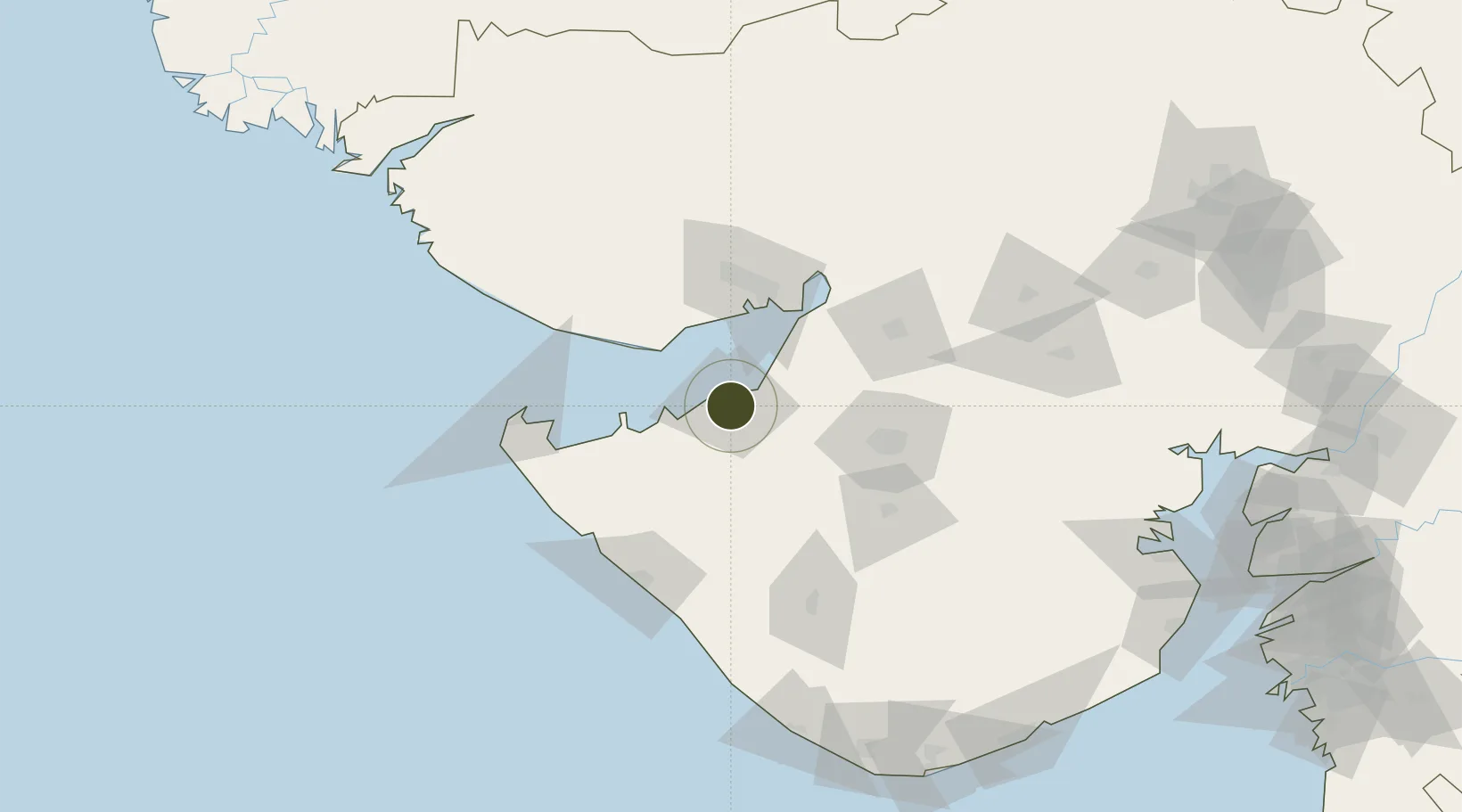
22.4838°, 70.0506°
1,210 ha
Zone area
9.9 km
Nearest port
4.4 km
Nearest airport

Gateway access

Nearest neighbours — logibook spatial index (haversine) over the source coordinates

Zone profile

Zone type
Diversified Zone
Open Zone Map
Region
Gujarat
Open Zone Map
Status
Active
Open Zone Map
Management
Private
Open Zone Map
Operator
Reliance Petroleum Limited
Open Zone Map
Legal framework
The Special Economic Zones Act, 2005, Gujarat Special Economic Zone ACT, 2004.
Open Zone Map

Location

Location of ozm-2125
Natural Earth 10m (public domain) · Gujarat · ozm-2125 · 22.48, 70.05GoogleOSMYandex

Nearby Logistics Neighbours

Ports
  1. 1Bedi10 km
  2. 2Sikka23 km
  3. 3Vadinar Terminal40 km
  4. 4Mundra45 km
  5. 5Kandla63 km
Nearest neighbours — logibook spatial index (haversine) over the source coordinates
Airports
  1. 1Jamnagar Airport4 km
  2. 2Kandla Airport70 km
  3. 3Rajkot Airport77 km
  4. 4Bhuj Airport98 km
  5. 5Porbandar Airport101 km
Nearest neighbours — logibook spatial index (haversine) over the source coordinates
Cities
  1. 1Reliance SEZ/Jamnagar3 km
  2. 2Rozi9 km
  3. 3Sika23 km
  4. 4Mundra Port SEZ48 km
  5. 5Mundra52 km
Nearest neighbours — logibook spatial index (haversine) over the source coordinates
Trade Zones
  1. 1Adani Mundra Port46 km
  2. 2Ganesh Infrastructure Pvt. Ltd.52 km
  3. 3Kandla Special Economic Zone62 km
  4. 4Kandla Special Economic Zone62 km
  5. 5Euro Multivision Pvt. Ltd.94 km
Nearest neighbours — logibook spatial index (haversine) over the source coordinates
DatabookThe Record of Consolidated Knowledge
India beyond logistics?
Browse databook

All Sources

Trade ZonesOpen Zone Map
CC BY
Portsthe NGA World Port Index
Public domain (US gov)
AirportsOurAirports
Public domain
LocationsUN/LOCODE
UN/LOCODE — free
← India trade zones