Medium airport · India
Rajkot AirportVARK
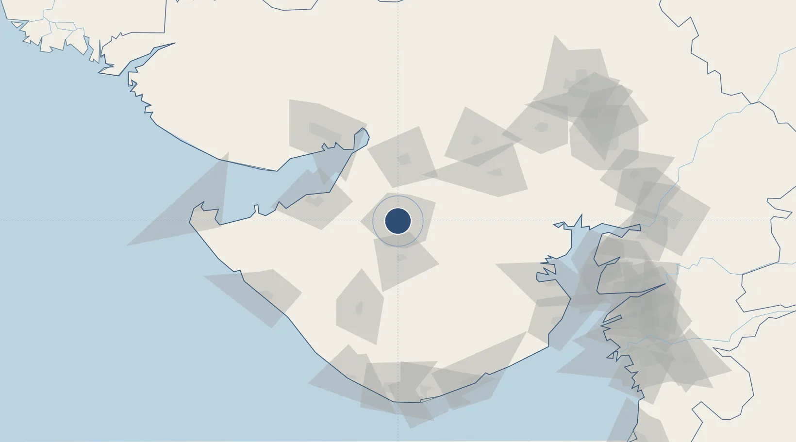
22.3092°, 70.7795°
6,040 ft
Longest runway
1
Runways
441 ft
Elevation
Runway & Layout

Radio Frequencies
TWR
122.1 MHz
APP
122.3 MHz
RDO
125.9 MHz
MUMBAI ACC
Navaids
RK NDB Rajkot 329 kHz
RKT VOR-DME Rajkot 115.40 MHz
Runways · 1
| Runway | Dimensions | Surface | True heading | Lit |
|---|---|---|---|---|
| 05/23 | 6,040 × 148ft | Asphalt | 047° | ✓ |
Airport Specifications
IATA code
RAJ
ICAO code
VARK
Airport class
Medium airport
Scheduled service
No
Runway surface
Asphalt
Served city
Rajkot
Location
Nearby Logistics Neighbours
Airports
- 1Rajkot International Airport28 km
- 2Jamnagar Airport81 km
- 3Kandla Airport113 km
- 4Keshod Airport122 km
- 5Porbandar Airport137 km
Cities
- 1Rajkot3 km
- 2Reliance SEZ/Jamnagar75 km
- 3Rozi82 km
- 4Morbi85 km
- 5Maliya86 km
Ports
- 1Navlakhi80 km
- 2Bedi81 km
- 3Sikka98 km
- 4Kandla99 km
- 5Vadinar Terminal116 km
Trade Zones
DatabookThe Record of Consolidated Knowledge
India beyond logistics?