Large airport · India

Rajkot International AirportVAHS
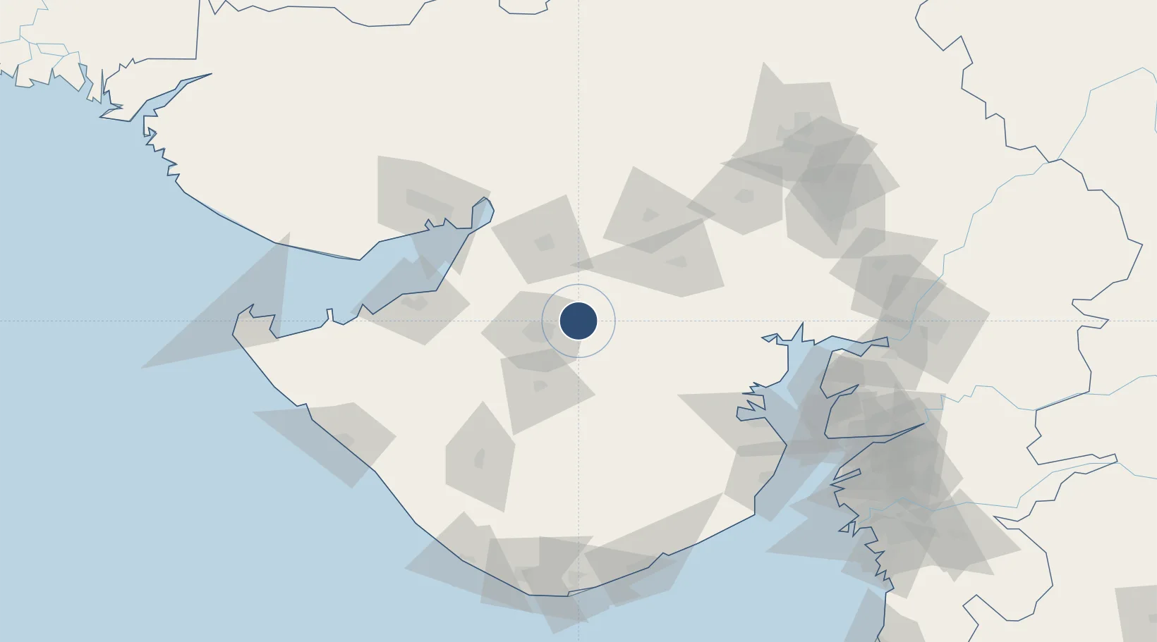
22.3788°, 71.0394°
9,974 ft
Longest runway
1
Runways
647 ft
Elevation

Runway & Layout

Rajkot International Airport runway & taxiway layout
Runway & taxiway layout — OpenStreetMap (ODbL) / OurAirports

Radio Frequencies

Tower
120.025 MHz
OurAirports

Runways · 1

RunwayDimensions SurfaceTrue headingLit
05/23 9,974 × 148ft Asphalt
OurAirports

Airport Specifications

IATA code
HSR
OurAirports
ICAO code
VAHS
OurAirports
Airport class
Large airport
OurAirports
Scheduled service
No
OurAirports
Runway surface
Asphalt
OurAirports
Served city
Rajkot
OurAirports

Location

Location of VAHS
Natural Earth 10m (public domain) · Gujarat · VAHS · 22.38, 71.04GoogleOSMYandex

Nearby Logistics Neighbours

Airports
  1. 1Rajkot Airport28 km
  2. 2Jamnagar Airport106 km
  3. 3Kandla Airport126 km
  4. 4Bhavnagar Airport137 km
  5. 5Keshod Airport142 km
Nearest neighbours — logibook spatial index (haversine) over the source coordinates
Cities
  1. 1Rajkot28 km
  2. 2Morbi79 km
  3. 3Maliya83 km
  4. 4E-Complex-SEZ/Amreli87 km
  5. 5Reliance SEZ/Jamnagar101 km
Nearest neighbours — logibook spatial index (haversine) over the source coordinates
Ports
  1. 1Navlakhi88 km
  2. 2Bedi104 km
  3. 3Kandla111 km
  4. 4Sikka124 km
  5. 5Bhavnagar141 km
Nearest neighbours — logibook spatial index (haversine) over the source coordinates
Trade Zones
  1. 1Reliance Jamnagar Infrastructure Ltd.102 km
  2. 2Kandla Special Economic Zone118 km
  3. 3Kandla Special Economic Zone119 km
  4. 4Euro Multivision Pvt. Ltd.141 km
  5. 5Adani Mundra Port143 km
Nearest neighbours — logibook spatial index (haversine) over the source coordinates
DatabookThe Record of Consolidated Knowledge
India beyond logistics?
Browse databook

All Sources

AirportsOurAirports
Public domain
Portsthe NGA World Port Index
Public domain (US gov)
LocationsUN/LOCODE
UN/LOCODE — free
Trade Zonesthe World Bank SEZ database
CC BY 4.0
Trade ZonesOpen Zone Map
CC BY
InfrastructureOpenStreetMap
ODbL 1.0
← India airports