Channel & Berth Profile
Pilotage, Tugs & Services
Pilotage compulsoryNO
Pilotage availableNO
Pilotage advisableYES
Local assistanceYES
Tug assistanceYES
Potable waterYES
MedicalYES
Facilities & Capabilities
Container—
Ro-Ro—
Liquid bulk—
Dry bulk—
Oil terminal—
Break bulk—
Dry dockNO
RepairsNO
Bunkering—
Rail linkYES
Dangerous cargo—
ISPS security—
Harbour Specifications
Harbour size
Very Small
Harbour type
Open Roadstead
Shelter
Fair
Water body
Arabian Sea; Indian Ocean
Tidal range
1.6 m
Overhead limit
No
Pilotage
No
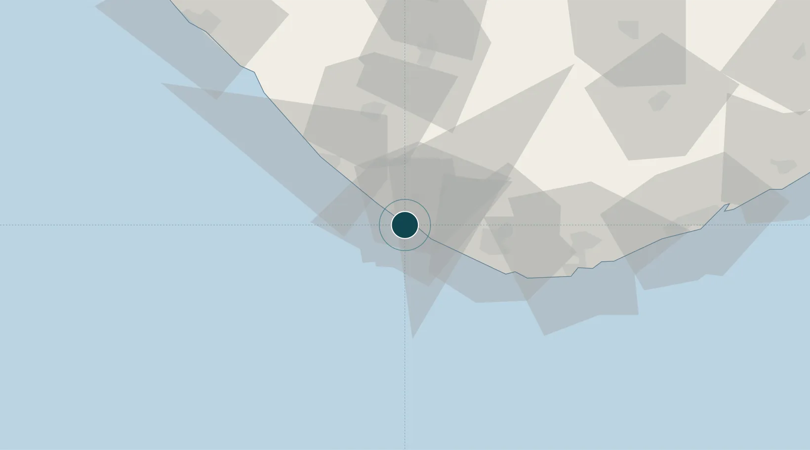
Location
Nearby Logistics Neighbours
Ports
- 1Jafarabad106 km
- 2Porbandar114 km
- 3Pipavav Bandar120 km
- 4Sikka179 km
- 5Vadinar Terminal189 km
Cities
- 1Mul Dwårka35 km
- 2Junagadh69 km
- 3Jafarabad104 km
- 4Mumbai (ex Bombay)114 km
- 5Jodhpur115 km
Airports
- 1Keshod Airport47 km
- 2Diu Airport61 km
- 3Porbandar Airport111 km
- 4Rajkot Airport162 km
- 5Jamnagar Airport178 km
Trade Zones
DatabookThe Record of Consolidated Knowledge
India beyond logistics?