Medium airport · India
Keshod AirportVAKS
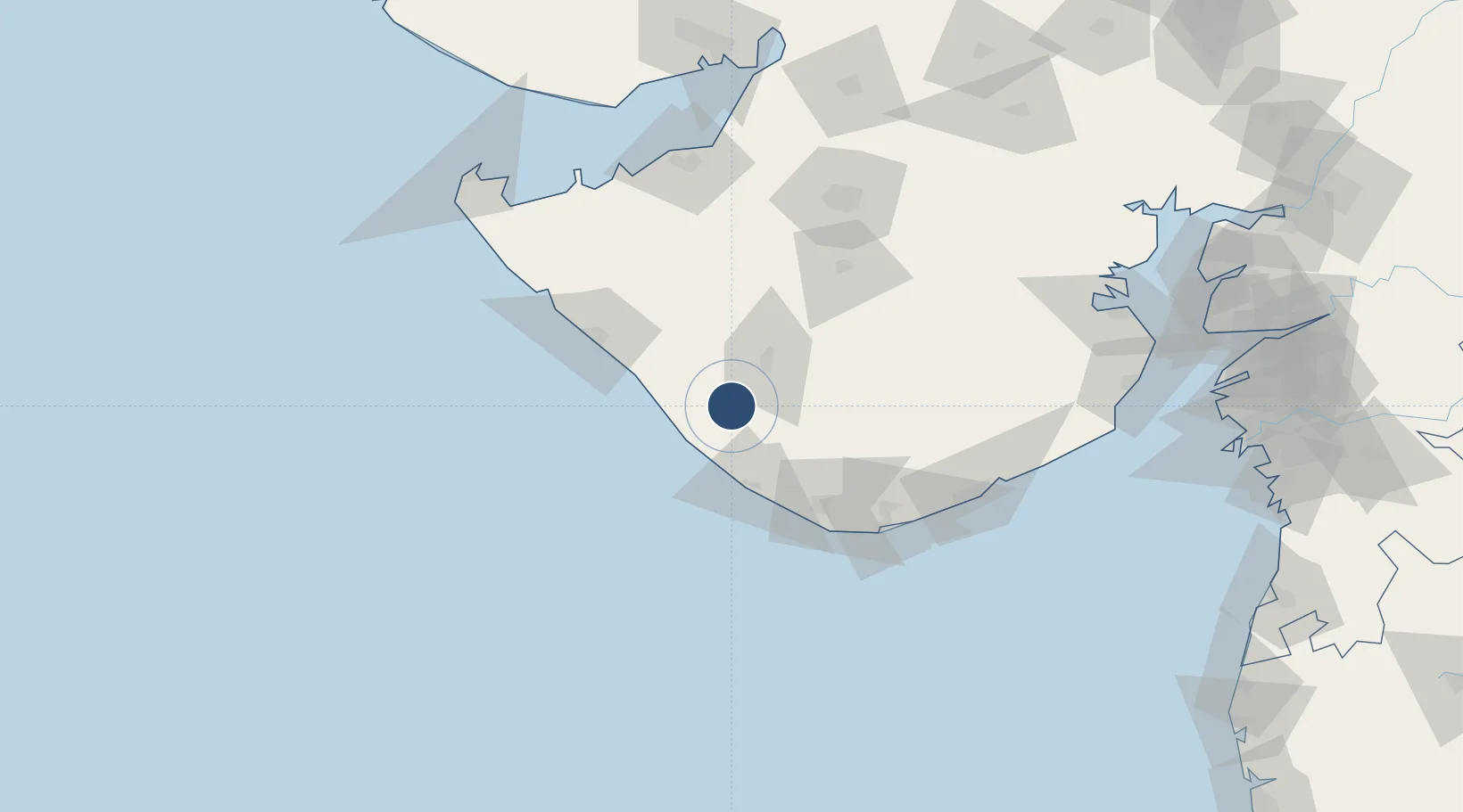
21.3171°, 70.2704°
4,500 ft
Longest runway
1
Runways
167 ft
Elevation
Runway & Layout

Radio Frequencies
TWR
122.3 MHz
Navaids
KS NDB Keshod 282 kHz
Runways · 1
| Runway | Dimensions | Surface | True heading | Lit |
|---|---|---|---|---|
| 05/23 | 4,500 × 150ft | Asphalt | 050° | ✓ |
Airport Specifications
IATA code
IXK
ICAO code
VAKS
Airport class
Medium airport
Scheduled service
Yes
Runway surface
Asphalt
Served city
Keshod
Location
Nearby Logistics Neighbours
Airports
- 1Porbandar Airport74 km
- 2Diu Airport95 km
- 3Rajkot Airport122 km
- 4Jamnagar Airport130 km
- 5Rajkot International Airport142 km
Cities
- 1Junagadh30 km
- 2Jodhpur68 km
- 3Mul Dwårka75 km
- 4E-Complex-SEZ/Amreli105 km
- 5Rajkot120 km
Ports
- 1Veraval47 km
- 2Porbandar78 km
- 3Jafarabad126 km
- 4Sikka132 km
- 5Pipavav Bandar137 km
Trade Zones
DatabookThe Record of Consolidated Knowledge
India beyond logistics?