UN/LOCODE hub · India
INRAJ

Rajkot

22.2833°, 70.7833°
1,390,640
Population
4
Transport functions

Transport Functions

Rail
Road
Airport
Multimodal
UN/LOCODE

Hub Profile

Place type
Populated place
GeoNames
Region
Gujarat
GeoNames
Population
1,390,640
GeoNames
Time zone
Asia/Kolkata
GeoNames
Elevation
140 m
GeoNames

Location

Location of INRAJ
Natural Earth 10m (public domain) · Gujarat · INRAJ · 22.28, 70.78GoogleOSMYandex

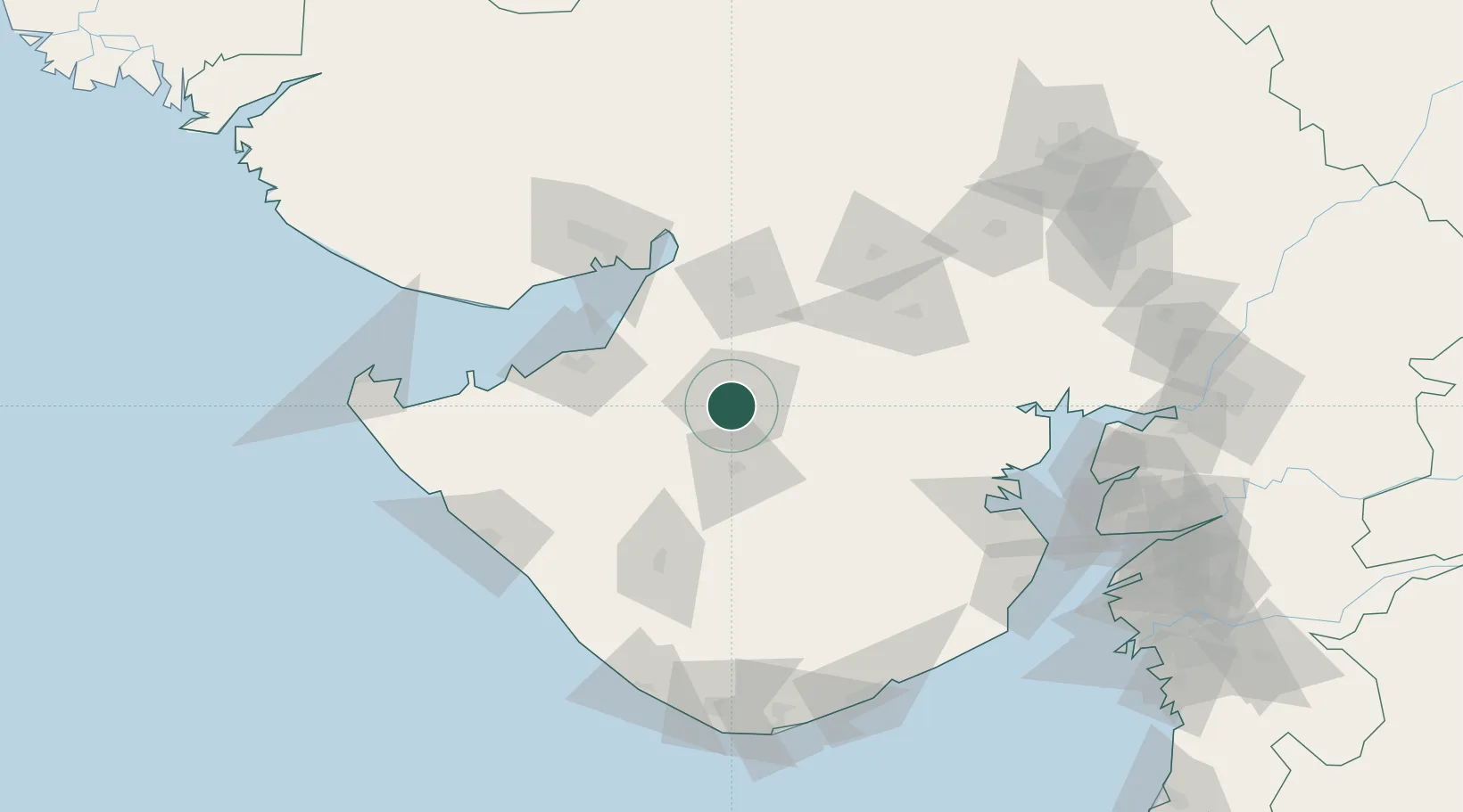
Nearby Logistics Neighbours

Cities
  1. 1Reliance SEZ/Jamnagar77 km
  2. 2Rozi83 km
  3. 3E-Complex-SEZ/Amreli88 km
  4. 4Morbi88 km
  5. 5Maliya89 km
Nearest neighbours — logibook spatial index (haversine) over the source coordinates
Ports
  1. 1Bedi82 km
  2. 2Navlakhi82 km
  3. 3Sikka99 km
  4. 4Kandla102 km
  5. 5Vadinar Terminal117 km
Nearest neighbours — logibook spatial index (haversine) over the source coordinates
Airports
  1. 1Rajkot Airport3 km
  2. 2Rajkot International Airport28 km
  3. 3Jamnagar Airport82 km
  4. 4Kandla Airport116 km
  5. 5Keshod Airport120 km
Nearest neighbours — logibook spatial index (haversine) over the source coordinates
Trade Zones
  1. 1Reliance Jamnagar Infrastructure Ltd.79 km
  2. 2Kandla Special Economic Zone107 km
  3. 3Kandla Special Economic Zone107 km
  4. 4Adani Mundra Port123 km
  5. 5Ganesh Infrastructure Pvt. Ltd.125 km
Nearest neighbours — logibook spatial index (haversine) over the source coordinates
DatabookThe Record of Consolidated Knowledge
India beyond logistics?
Browse databook

All Sources

LocationsUN/LOCODE
UN/LOCODE — free
LocationsGeoNames
CC BY 4.0
Portsthe NGA World Port Index
Public domain (US gov)
AirportsOurAirports
Public domain
Trade Zonesthe World Bank SEZ database
CC BY 4.0
Trade ZonesOpen Zone Map
CC BY
← India locations