Medium airport · India

Kazi Nazrul Islam AirportVEDG
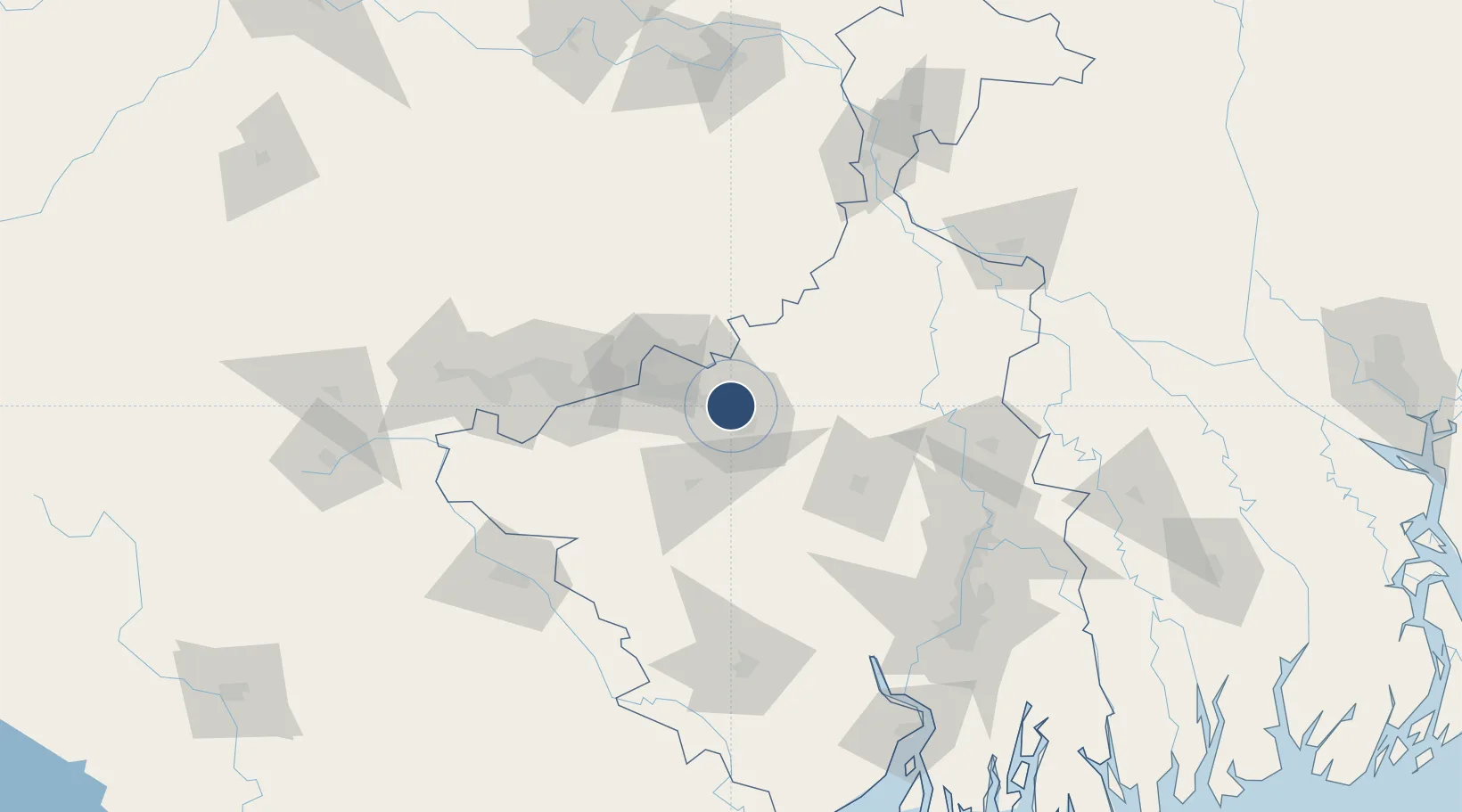
23.6225°, 87.2430°
9,186 ft
Longest runway
1
Runways
300 ft
Elevation

Runway & Layout

Kazi Nazrul Islam Airport runway & taxiway layout
Runway & taxiway layout — OpenStreetMap (ODbL) / OurAirports

Runways · 1

RunwayDimensions SurfaceTrue headingLit
16/34 9,186 × 138ft Asphalt
OurAirports

Airport Specifications

IATA code
RDP
OurAirports
ICAO code
VEDG
OurAirports
Airport class
Medium airport
OurAirports
Scheduled service
Yes
OurAirports
Runway surface
Asphalt
OurAirports
Served city
Durgapur
OurAirports

Location

Location of VEDG
Natural Earth 10m (public domain) · West Bengal · VEDG · 23.62, 87.24GoogleOSMYandex

Nearby Logistics Neighbours

Airports
  1. 1Panagarh Air Force Station25 km
  2. 2Dhanbad Airport87 km
  3. 3Deoghar Airport107 km
  4. 4Sonari Airport142 km
  5. 5Netaji Subhash Chandra Bose International Airport164 km
Nearest neighbours — logibook spatial index (haversine) over the source coordinates
Cities
  1. 1Durgapur20 km
  2. 2Bankura45 km
  3. 3Chirkunda68 km
  4. 4Bardhaman77 km
  5. 5Jamshedpur142 km
Nearest neighbours — logibook spatial index (haversine) over the source coordinates
Ports
  1. 1Calcutta163 km
  2. 2Haldia Port198 km
  3. 3Mongla273 km
  4. 4Dhamra313 km
  5. 5Paradip378 km
Nearest neighbours — logibook spatial index (haversine) over the source coordinates
Trade Zones
  1. 1Adityapur Industrial area development authority144 km
  2. 2Chapainawabganj Economic Zone149 km
  3. 3Falta Special Economic Zone165 km
  4. 4M.L. Dalmiya & Co Ltd.166 km
  5. 5M.L. Dalmiya and Company Limited166 km
Nearest neighbours — logibook spatial index (haversine) over the source coordinates
DatabookThe Record of Consolidated Knowledge
India beyond logistics?
Browse databook

All Sources

AirportsOurAirports
Public domain
Portsthe NGA World Port Index
Public domain (US gov)
LocationsUN/LOCODE
UN/LOCODE — free
Trade Zonesthe World Bank SEZ database
CC BY 4.0
Trade ZonesOpen Zone Map
CC BY
InfrastructureOpenStreetMap
ODbL 1.0
← India airports