Transport Functions
Multimodal
Hub Profile
Place type
Populated place
Region
West Bengal
Population
219,665
Time zone
Asia/Kolkata
Elevation
42 m
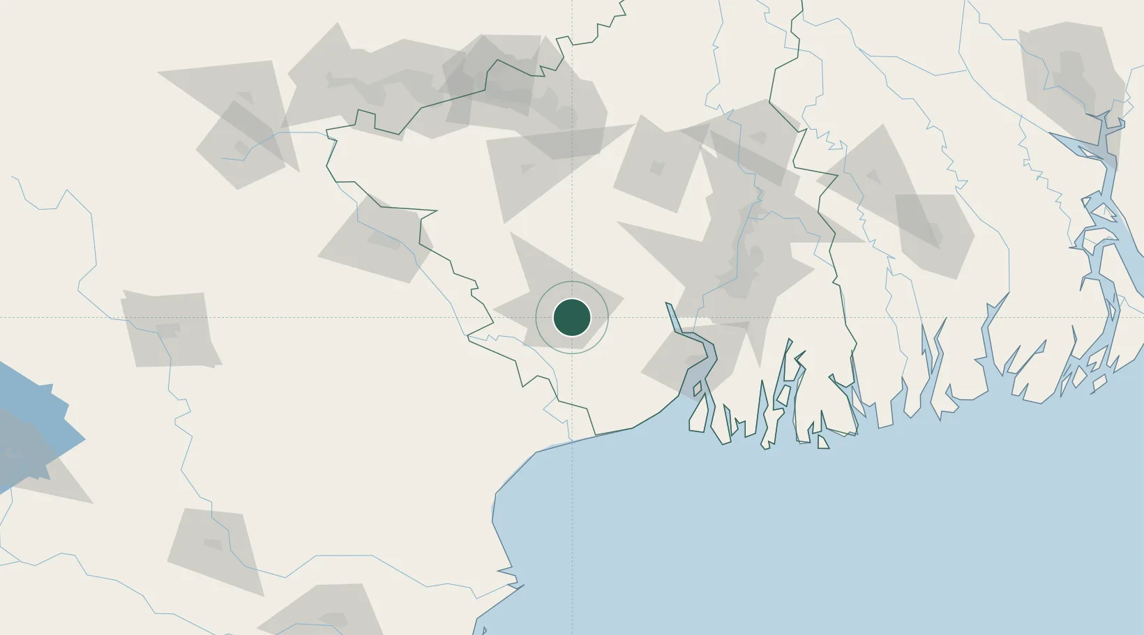
Location
Nearby Logistics Neighbours
Cities
- 1Falta79 km
- 2Haldia82 km
- 3Howrah100 km
- 4Garden Reach101 km
- 5Alipore103 km
Ports
- 1Haldia Port85 km
- 2Calcutta106 km
- 3Dhamra173 km
- 4Mongla234 km
- 5Paradip240 km
Airports
- 1Netaji Subhash Chandra Bose International Airport120 km
- 2Panagarh Air Force Station127 km
- 3Sonari Airport131 km
- 4Kazi Nazrul Islam Airport144 km
- 5Dhanbad Airport191 km
Trade Zones
- 1Falta Special Economic Zone79 km
- 2M.L. Dalmiya & Co Ltd.108 km
- 3M.L. Dalmiya and Company Limited108 km
- 4Falta Special Economic Zone109 km
- 5Salt Lake Electronic City116 km
DatabookThe Record of Consolidated Knowledge
India beyond logistics?