Transport Functions
Multimodal
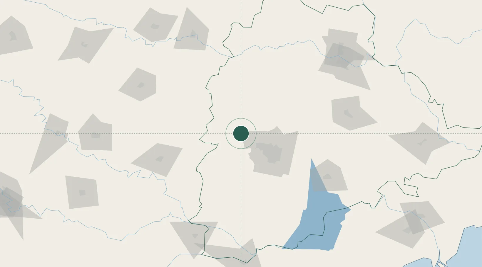
Hub Profile
Region
AP
Location
Nearby Logistics Neighbours
Cities
- 1Santa-SEZ/Muppireddipally44 km
- 2Rll-SEZ/Medak44 km
- 3APIICL-SEZ/Medak44 km
- 4VBTL-SEZ/Medak44 km
- 5Hyderabad47 km
Ports
- 1Kattupalli Port447 km
- 2Kakinada Bay463 km
- 3Ratnagiri509 km
- 4Panaji511 km
- 5Jaigarh Bay511 km
Airports
DatabookThe Record of Consolidated Knowledge
India beyond logistics?