Seaport · India
Chennai (Madras)INMAA
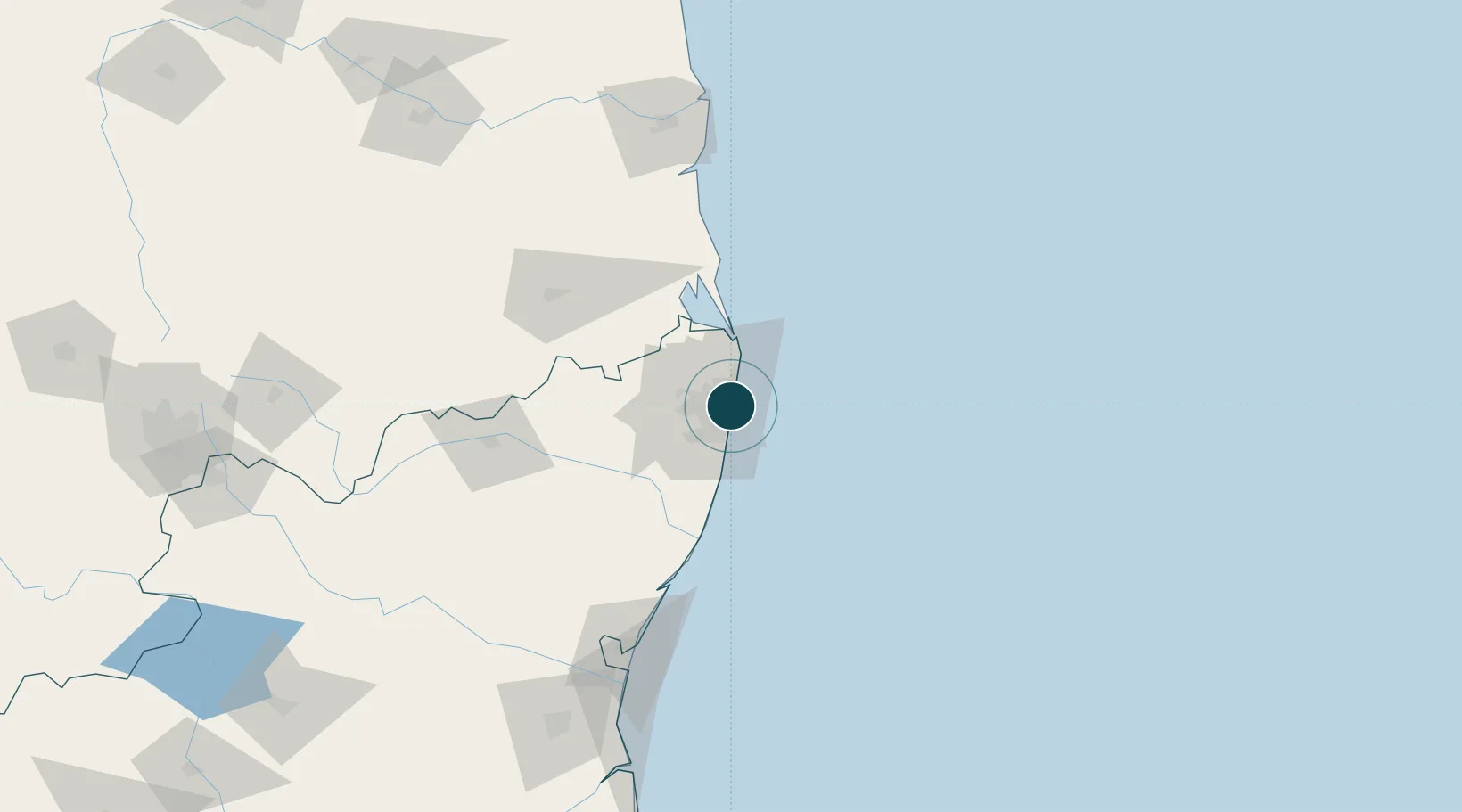
13.1000°, 80.3000°
18.6 m
Channel depth
2
Container terminals
181.7
Port liner connectivity
Channel & Berth Profile
Pilotage, Tugs & Services
Pilotage compulsoryYES
Pilotage availableYES
Pilotage advisableYES
Tug assistanceYES
Shore powerYES
Potable waterYES
Diesel bunkersYES
MedicalYES
Garbage disposalYES
Facilities & Capabilities
ContainerYES
Ro-RoYES
Liquid bulkYES
Dry bulkYES
Oil terminal—
Break bulkYES
Dry dockNO
RepairsNO
BunkeringYES
Rail linkYES
Dangerous cargo—
ISPS security—
Harbour Specifications
Harbour size
Large
Harbour type
Coastal (Breakwater)
Shelter
Good
Water body
Bay of Bengal; Indian Ocean
Tidal range
1.3 m
Overhead limit
Yes
Pilotage
Yes
Liner Connectivity
181.7
PLSCI
Port Liner Shipping Connectivity Index for Chennai (Madras), as published by UNCTAD for the latest available quarter. Higher values indicate stronger scheduled liner-shipping integration.
Shown relative to the highest per-port PLSCI in the dataset (1,657.9).
Location
Container Terminals · 2
CHENNAI CONTAINER TERMINAL (CCTL)
CCTL CHENNAI CONTAINER TERMINAL PVT. LTD. / DP WORLD
CHENNAI INTERNATIONAL CONTAINER TERMINAL (CITPL)
CITPL CHENNAI INTERNATIONAL TERMINALS PVT LTD / PSA
Nearby Logistics Neighbours
Ports
- 1Kamarajar Port19 km
- 2Kattupalli Port129 km
- 3Pondicherry139 km
- 4Cuddalore164 km
- 5Karaikal Port256 km
Cities
- 1Royapuram2 km
- 2Tondiarpet3 km
- 3TIPL SEZ/Chennai3 km
- 4CTSI SEZ/Siruseri3 km
- 5HTL SEZ/Siruseri3 km
Airports
- 1Chennai International Airport19 km
- 2Tirupati International Airport101 km
- 3Pondicherry Airport137 km
- 4Kadapa Airport228 km
- 5Kempegowda International Airport Bengaluru281 km
Trade Zones
DatabookThe Record of Consolidated Knowledge
India beyond logistics?