Transport Functions
Road
Multimodal
Hub Profile
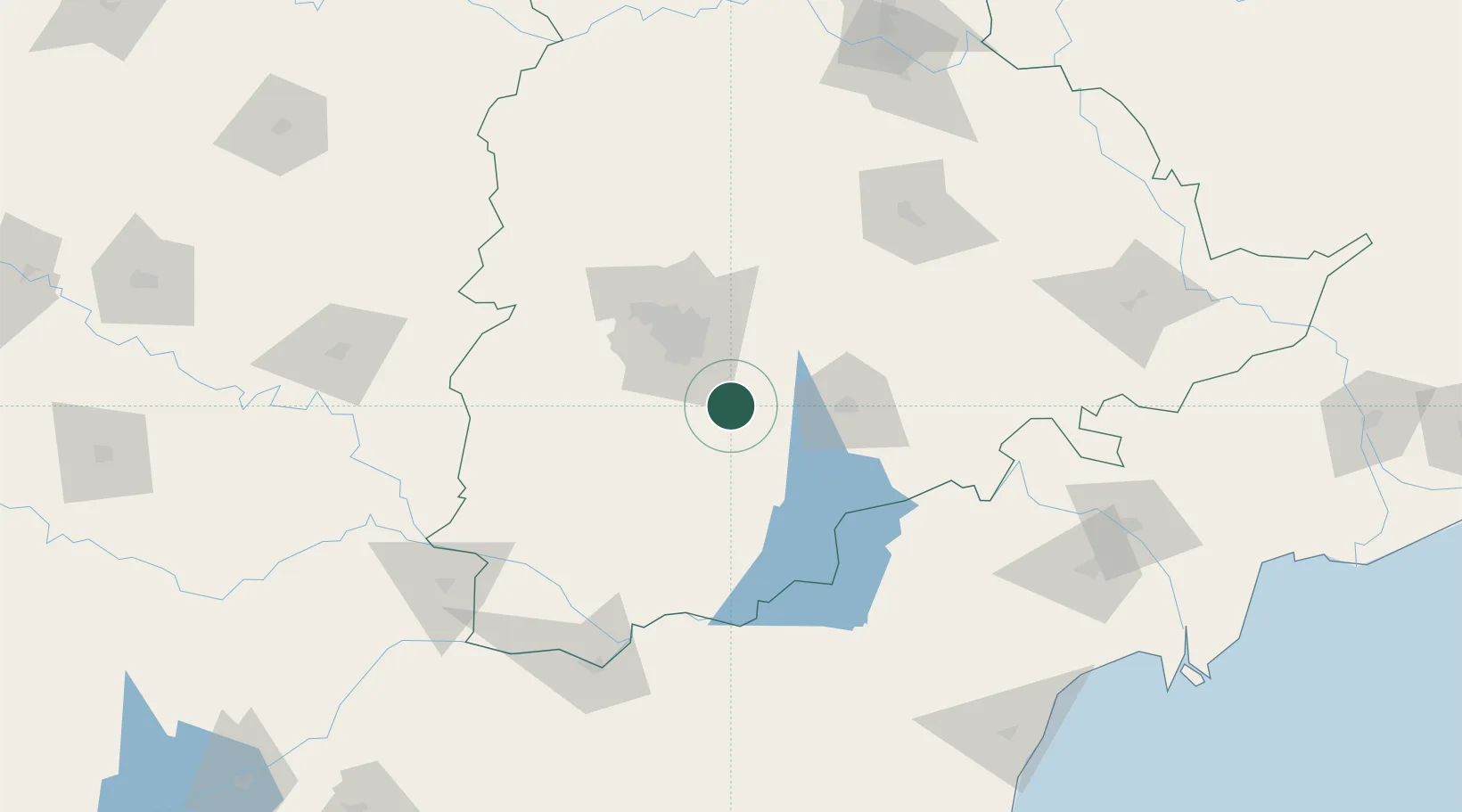
Region
AP
Location
Nearby Logistics Neighbours
Cities
- 1DSIL SEZ/Ranga Reddy0 km
- 2Aditabla39 km
- 3APIICL-SEZ/Ranga Reddy41 km
- 4Hgsezl-SEZ/Ranga Reddy41 km
- 5CMTL ICD/Thimmapur47 km
Ports
- 1Kattupalli Port350 km
- 2Kakinada Bay383 km
- 3Kamarajar Port459 km
- 4Chennai (Madras)474 km
- 5Gangavaram485 km
Airports
Trade Zones
DatabookThe Record of Consolidated Knowledge
India beyond logistics?