Transport Functions
Rail
Road
Hub Profile
Region
WB
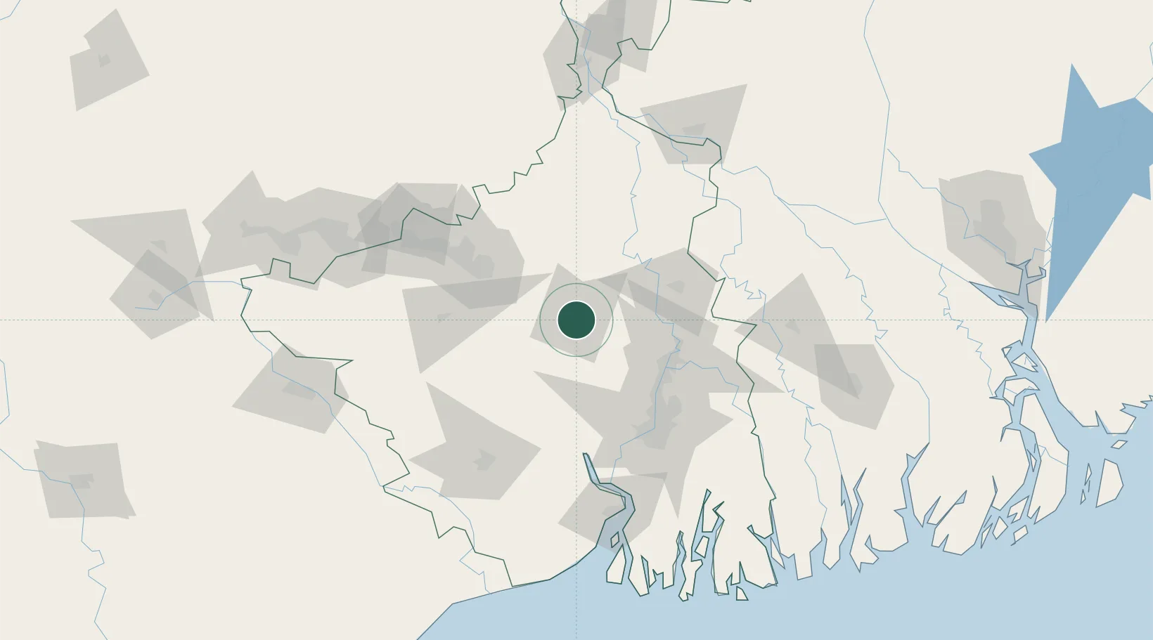
Location
Nearby Logistics Neighbours
Cities
- 1Durgapur59 km
- 2Howrah82 km
- 3Bankura82 km
- 4Kolkata (ex Calcutta)90 km
- 5Kolkata IT Park/Bantala90 km
Ports
- 1Calcutta90 km
- 2Haldia Port137 km
- 3Mongla197 km
- 4Dhamra284 km
- 5Paradip352 km
Airports
Trade Zones
DatabookThe Record of Consolidated Knowledge
India beyond logistics?