UN/LOCODE hub · India
INDUR

Durgapur

23.4871°, 87.3646°
518,872
Population
2
Transport functions

Transport Functions

Road
Multimodal
UN/LOCODE

Hub Profile

Place type
Populated place
GeoNames
Region
West Bengal
GeoNames
Population
518,872
GeoNames
Time zone
Asia/Kolkata
GeoNames
Elevation
100 m
GeoNames
Logistics facilities
1
UN/LOCODE

Location

Location of INDUR
Natural Earth 10m (public domain) · West Bengal · INDUR · 23.49, 87.36GoogleOSMYandex

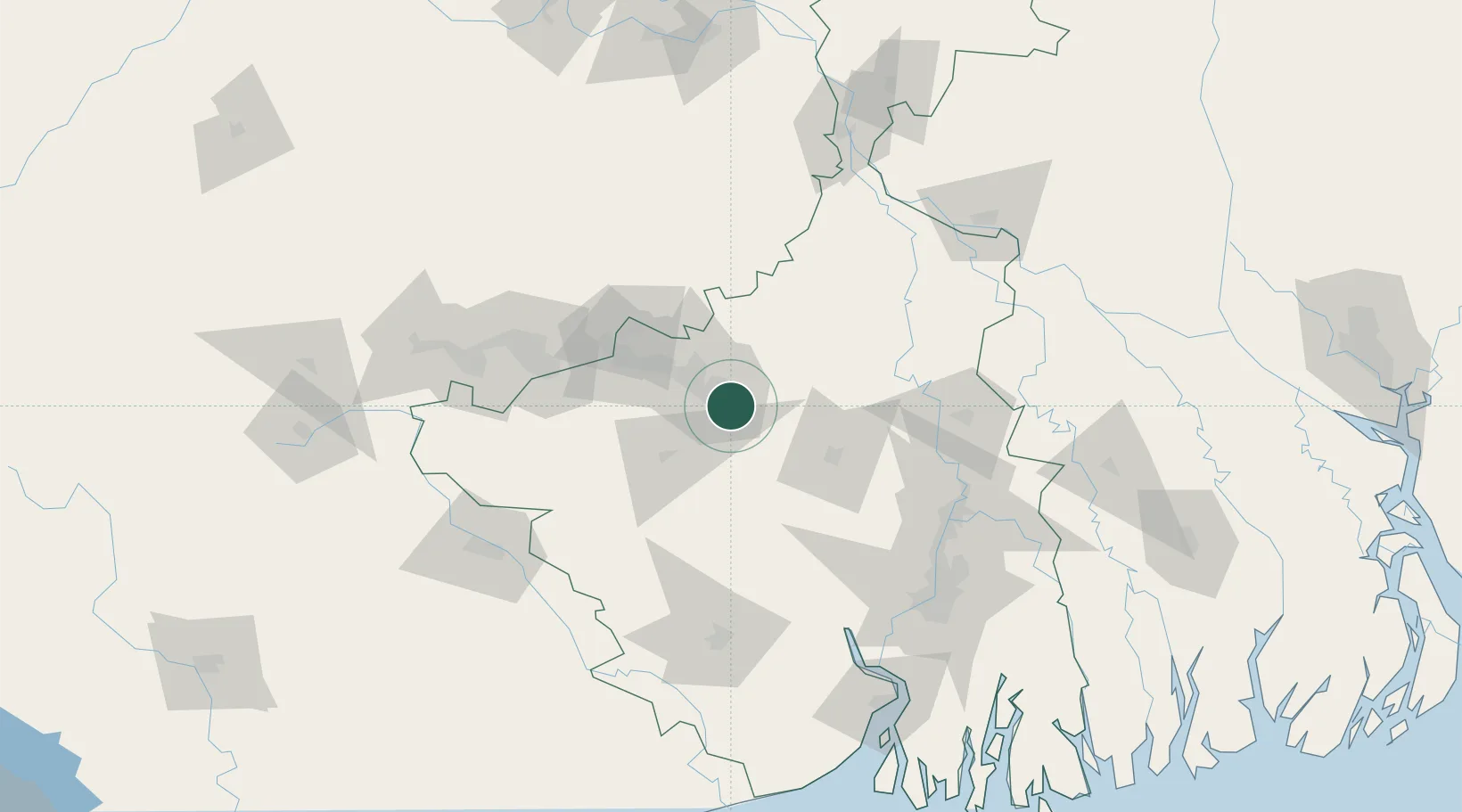
Nearby Logistics Neighbours

Cities
  1. 1Bankura40 km
  2. 2Bardhaman59 km
  3. 3Chirkunda83 km
  4. 4Kharagpur128 km
  5. 5Howrah135 km
Nearest neighbours — logibook spatial index (haversine) over the source coordinates
Ports
  1. 1Calcutta144 km
  2. 2Haldia Port179 km
  3. 3Mongla255 km
  4. 4Dhamra300 km
  5. 5Paradip365 km
Nearest neighbours — logibook spatial index (haversine) over the source coordinates
Airports
  1. 1Panagarh Air Force Station7 km
  2. 2Kazi Nazrul Islam Airport20 km
  3. 3Dhanbad Airport103 km
  4. 4Deoghar Airport126 km
  5. 5Sonari Airport143 km
Nearest neighbours — logibook spatial index (haversine) over the source coordinates
Trade Zones
  1. 1Adityapur Industrial area development authority145 km
  2. 2Falta Special Economic Zone145 km
  3. 3M.L. Dalmiya & Co Ltd.146 km
  4. 4M.L. Dalmiya and Company Limited146 km
  5. 5Manikanchan Special Economic Zone149 km
Nearest neighbours — logibook spatial index (haversine) over the source coordinates
DatabookThe Record of Consolidated Knowledge
India beyond logistics?
Browse databook

All Sources

LocationsUN/LOCODE
UN/LOCODE — free
LocationsGeoNames
CC BY 4.0
Portsthe NGA World Port Index
Public domain (US gov)
AirportsOurAirports
Public domain
Trade Zonesthe World Bank SEZ database
CC BY 4.0
Trade ZonesOpen Zone Map
CC BY
← India locations