Transport Functions
Multimodal
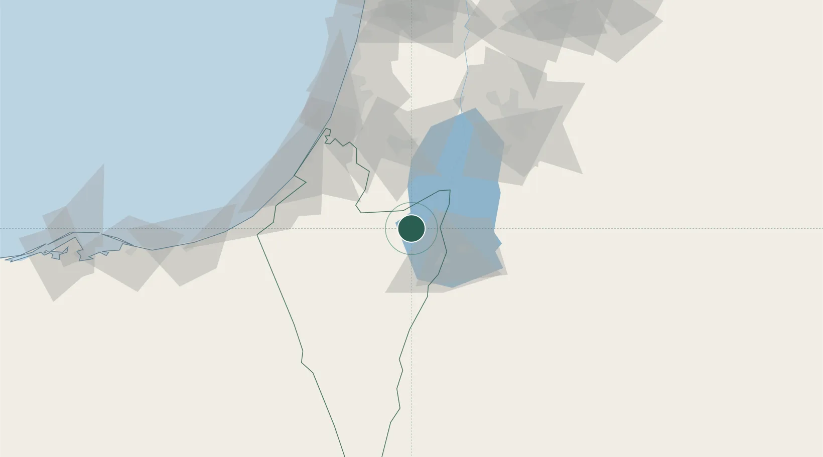
Hub Profile
Place type
Populated place
Region
Southern District
Population
27,967
Time zone
Asia/Jerusalem
Elevation
613 m
Location
Nearby Logistics Neighbours
Cities
- 1Mishor Rotem19 km
- 2Qir Moav47 km
- 3Beit Jala50 km
- 4Yeruham52 km
- 5Mishor Adumim60 km
Airports
- 1Bar Yehuda Airfield19 km
- 2Nevatim Air Base20 km
- 3Ramon Air Base74 km
- 4Tel Nof Air Base76 km
- 5Ben Gurion International Airport90 km
Trade Zones
DatabookThe Record of Consolidated Knowledge
Israel beyond logistics?