UN/LOCODE hub · Israel
ILHFA
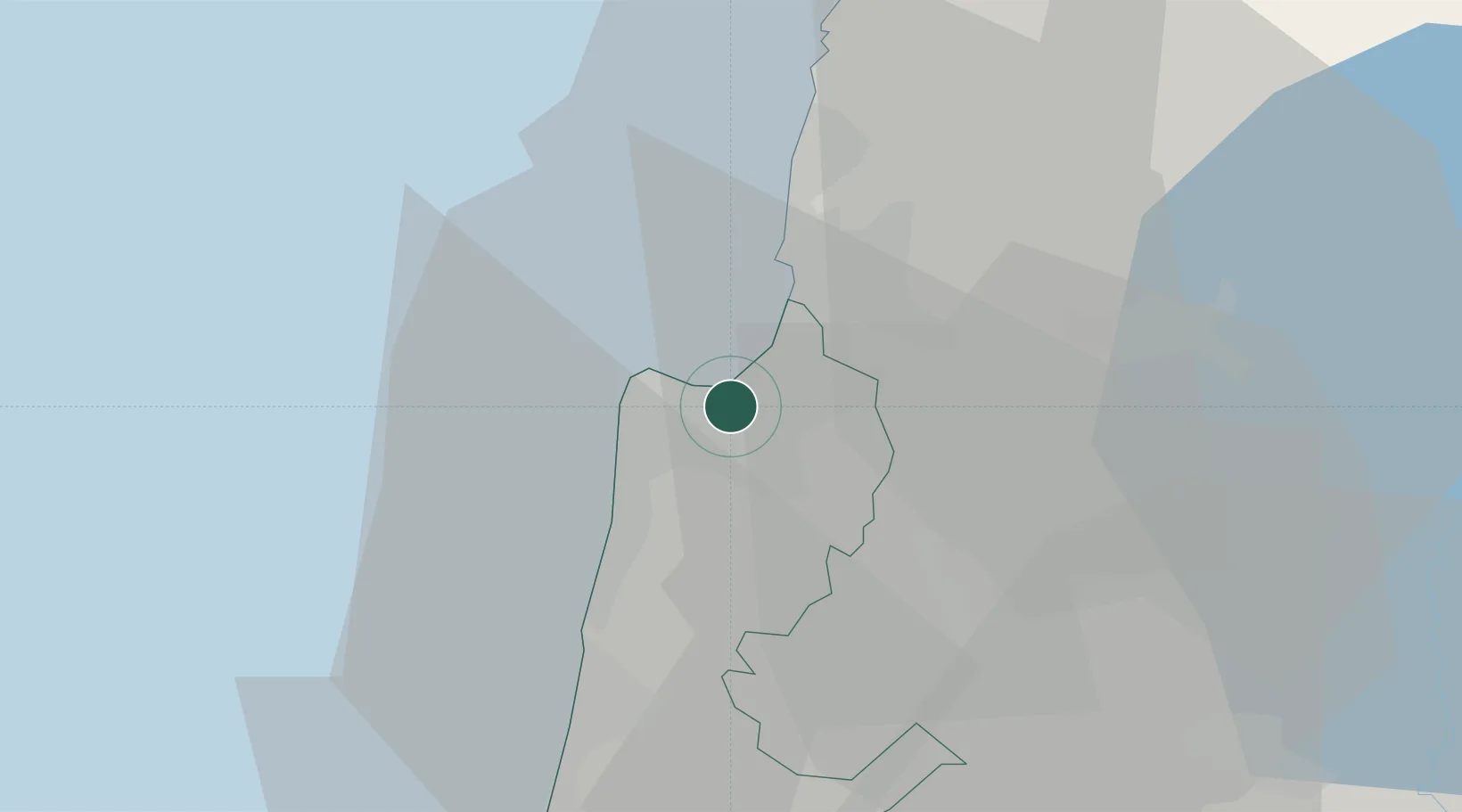
Haifa
32.8121°, 35.0319°
285,316
Population
3
Transport functions
2
Container terminals
Transport Functions
Port
Airport
Postal
Hub Profile
Place type
Regional capital
Region
Haifa
Population
285,316
Time zone
Asia/Jerusalem
Elevation
101 m
Logistics facilities
17
Container terminals
2
Location
Nearby Logistics Neighbours
Cities
- 1Haifa Bayport5 km
- 2Haifa Granaries5 km
- 3Haifa Meshakef5 km
- 4Haifa Israel Shipyards Port5 km
- 5Haifa Overseas5 km
Ports
- 1Hadera40 km
- 2Sayda82 km
- 3Sidon/zahrani Terminal85 km
- 4Ashdod116 km
- 5Bayrut129 km
Airports
Trade Zones
DatabookThe Record of Consolidated Knowledge
Israel beyond logistics?