Diversified Zone · Jordan

Al-Karak Free Zone Active
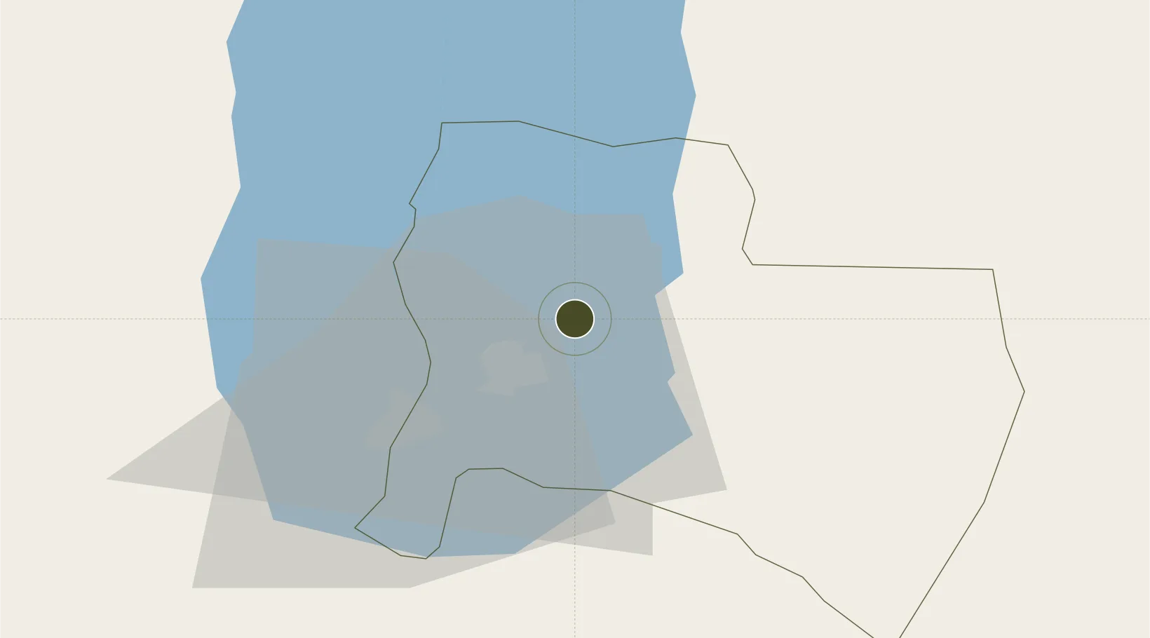
31.1866°, 35.6249°
13 ha
Zone area
116.0 km
Nearest port
27.4 km
Nearest airport

Gateway access

Nearest neighbours — logibook spatial index (haversine) over the source coordinates

Zone profile

Zone type
Diversified Zone
Open Zone Map
Region
Karak
Open Zone Map
Status
Active
Open Zone Map
Management
Public
Open Zone Map
Operator
Jordan Investment Commission
Open Zone Map
Legal framework
The Investment Law No. (30) of 2014.
Open Zone Map

Location

Location of ozm-2615
Natural Earth 10m (public domain) · Karak · ozm-2615 · 31.19, 35.62GoogleOSMYandex

Nearby Logistics Neighbours

Ports
  1. 1Ashdod116 km
  2. 2Ashqelon119 km
  3. 3Hadera158 km
  4. 4Al Arish171 km
  5. 5Haifa191 km
Nearest neighbours — logibook spatial index (haversine) over the source coordinates
Airports
  1. 1Bar Yehuda Airfield27 km
  2. 2Nevatim Air Base58 km
  3. 3Queen Alia International Airport69 km
  4. 4Marka International (Amman Civil) Airport94 km
  5. 5Ramon Air Base102 km
Nearest neighbours — logibook spatial index (haversine) over the source coordinates
Cities
  1. 1Qir Moav7 km
  2. 2Mishor Rotem36 km
  3. 3Arad40 km
  4. 4Yeruham50 km
  5. 5Beit Jala71 km
Nearest neighbours — logibook spatial index (haversine) over the source coordinates
Trade Zones
  1. 1Al-Karak Free Zone20 km
  2. 2Al Tafilah Development Zone43 km
  3. 3Dead Sea Development Zone60 km
  4. 4Madaba Development Zone60 km
  5. 5Queen Alia International Airport Free Zone69 km
Nearest neighbours — logibook spatial index (haversine) over the source coordinates
DatabookThe Record of Consolidated Knowledge
Jordan beyond logistics?
Browse databook

All Sources

Trade ZonesOpen Zone Map
CC BY
Portsthe NGA World Port Index
Public domain (US gov)
AirportsOurAirports
Public domain
LocationsUN/LOCODE
UN/LOCODE — free
← Jordan trade zones