UN/LOCODE hub · Israel
ILMSO

Mishor Rotem

31.0833°, 35.2667°
1
Transport functions

Transport Functions

Multimodal
UN/LOCODE

Hub Profile

Region
D
GeoNames

Location

Location of ILMSO
Natural Earth 10m (public domain) · D · ILMSO · 31.08, 35.27GoogleOSMYandex

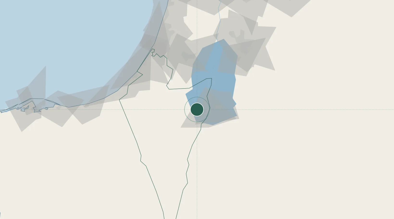
Nearby Logistics Neighbours

Cities
  1. 1Arad19 km
  2. 2Qir Moav43 km
  3. 3Yeruham66 km
  4. 4Beit Jala69 km
  5. 5Mishor Adumim78 km
Nearest neighbours — logibook spatial index (haversine) over the source coordinates
Ports
  1. 1Ashqelon98 km
  2. 2Ashdod100 km
  3. 3Al Arish137 km
  4. 4Hadera158 km
  5. 5Elat173 km
Nearest neighbours — logibook spatial index (haversine) over the source coordinates
Airports
  1. 1Nevatim Air Base28 km
  2. 2Bar Yehuda Airfield30 km
  3. 3Ramon Air Base67 km
  4. 4Tel Nof Air Base94 km
  5. 5Queen Alia International Airport99 km
Nearest neighbours — logibook spatial index (haversine) over the source coordinates
Trade Zones
  1. 1Al-Karak Free Zone36 km
  2. 2Al Tafilah Development Zone39 km
  3. 3Al-Karak Free Zone56 km
  4. 4Bethlehem Industrial Estate -BIE69 km
  5. 5Dead Sea Development Zone85 km
Nearest neighbours — logibook spatial index (haversine) over the source coordinates
DatabookThe Record of Consolidated Knowledge
Israel beyond logistics?
Browse databook

All Sources

LocationsUN/LOCODE
UN/LOCODE — free
Portsthe NGA World Port Index
Public domain (US gov)
AirportsOurAirports
Public domain
Trade Zonesthe World Bank SEZ database
CC BY 4.0
Trade ZonesOpen Zone Map
CC BY
← Israel locations