Transport Functions
Multimodal
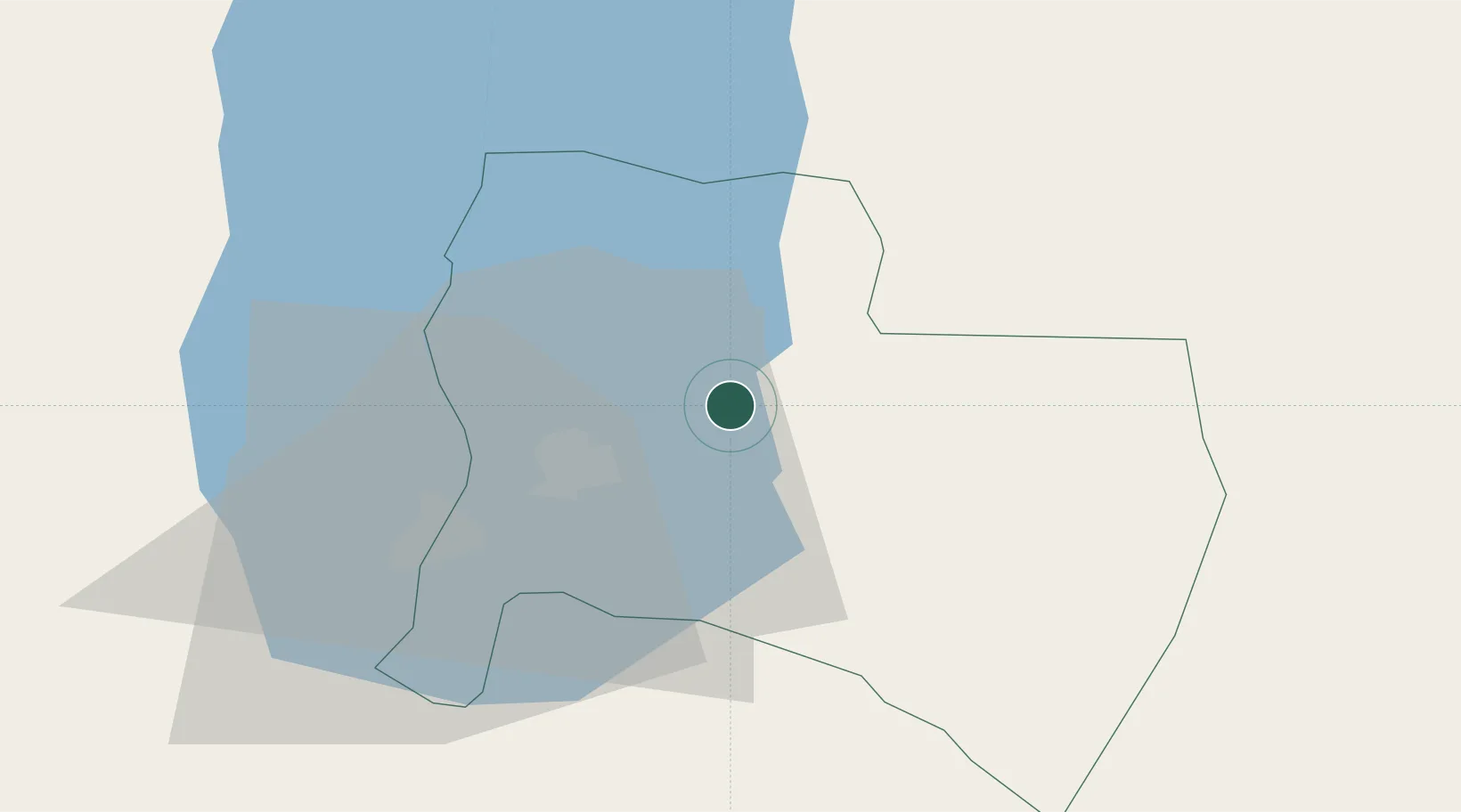
Hub Profile
Place type
Populated place
Region
Ma’an
Population
22,581
Time zone
Asia/Amman
Elevation
1,000 m
Location
Nearby Logistics Neighbours
Cities
- 1Mishor Rotem43 km
- 2Arad47 km
- 3Yeruham53 km
- 4Beit Jala76 km
- 5Mishor Adumim76 km
Airports
Trade Zones
- 1Al-Karak Free Zone7 km
- 2Al-Karak Free Zone13 km
- 3Al Tafilah Development Zone45 km
- 4Dead Sea Development Zone60 km
- 5Madaba Development Zone60 km
DatabookThe Record of Consolidated Knowledge
Jordan beyond logistics?