Medium airport · Israel
Ramon Air BaseLLRM
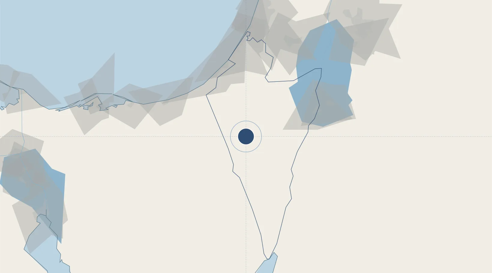
30.7761°, 34.6667°
9,876 ft
Longest runway
2
Runways
2,126 ft
Elevation
Runway & Layout

Radio Frequencies
APP
120.9 MHz
TEL AVIV CON
Runways · 2
| Runway | Dimensions | Surface | True heading | Lit |
|---|---|---|---|---|
| 07R/25L | 9,876 × 148ft | Asphalt | 066° | ✓ |
| 07L/25R | 8,858 × 148ft | Asphalt | 067° | ✓ |
Airport Specifications
ICAO code
LLRM
Airport class
Medium airport
Scheduled service
No
Runway surface
Asphalt
Served city
Beersheba
Location
Nearby Logistics Neighbours
Airports
- 1Nevatim Air Base58 km
- 2El Jora Airport59 km
- 3El Arish International Airport86 km
- 4Bar Yehuda Airfield92 km
- 5Tel Nof Air Base119 km
Cities
- 1Kerem Shalom60 km
- 2Mishor Rotem67 km
- 3Arad74 km
- 4Julis101 km
- 5Qir Moav108 km
Trade Zones
- 1Gaza Industrial Estate (GIE)80 km
- 2Al Tafilah Development Zone82 km
- 3Al-Karak Free Zone102 km
- 4Al Muhammadiyah Development Zone105 km
- 5Maan Maʿān Development Area105 km
DatabookThe Record of Consolidated Knowledge
Israel beyond logistics?