Diversified Zone · Jordan

Al Tafilah Development Zone Under Development
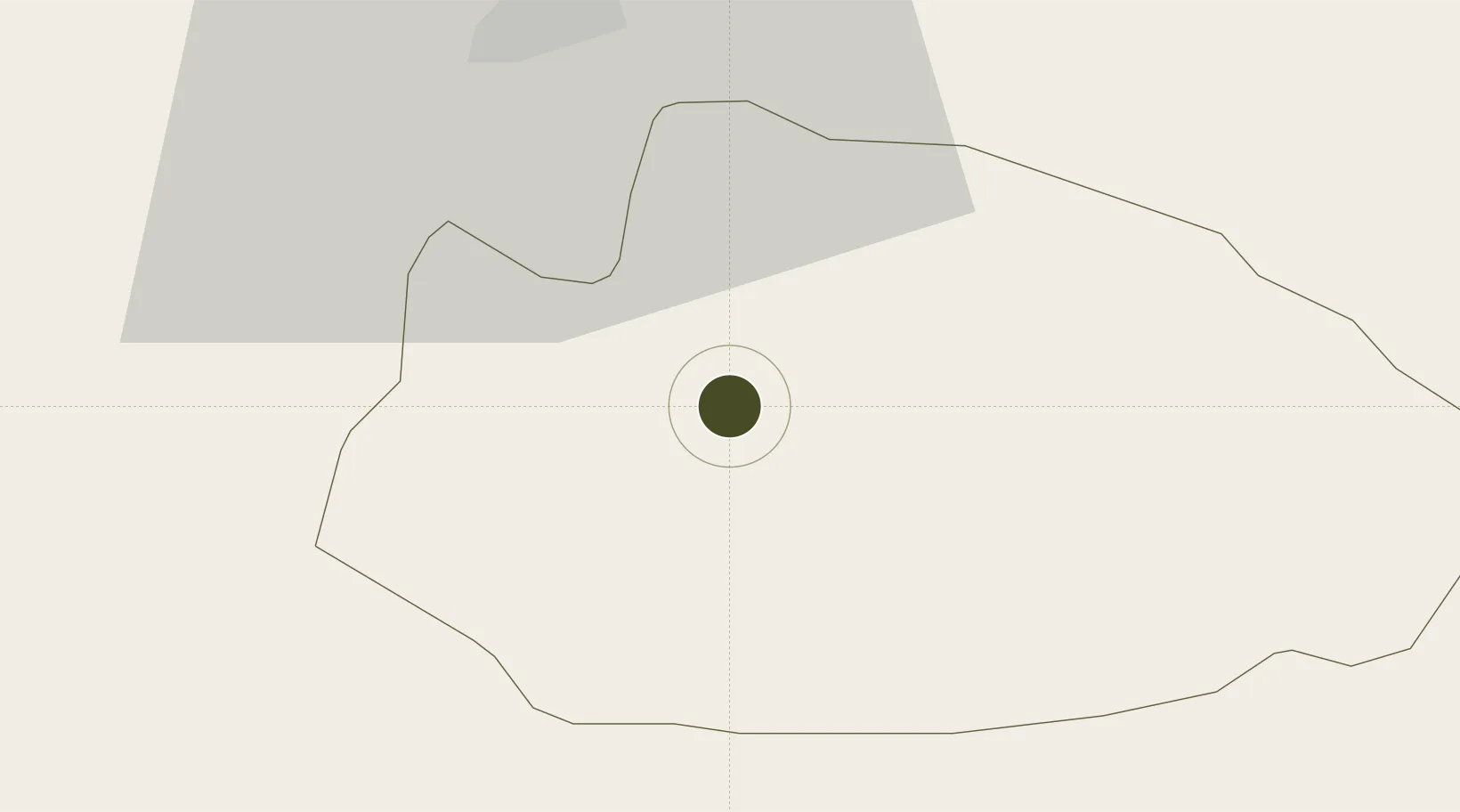
30.8073°, 35.5228°
1,851 ha
Zone area
136.3 km
Nearest port
59.3 km
Nearest airport

Gateway access

Nearest neighbours — logibook spatial index (haversine) over the source coordinates

Zone profile

Zone type
Diversified Zone
Open Zone Map
Region
Tafilah
Open Zone Map
Status
Under Development
Open Zone Map
Management
Public
Open Zone Map
Operator
Jordan Investment Commission
Open Zone Map
Legal framework
The Investment Law No. (30) of 2014.
Open Zone Map

Location

Location of ozm-2628
Natural Earth 10m (public domain) · Tafilah · ozm-2628 · 30.81, 35.52GoogleOSMYandex

Nearby Logistics Neighbours

Ports
  1. 1Ashqelon136 km
  2. 2Ashdod140 km
  3. 3Elat150 km
  4. 4Al Aqabah152 km
  5. 5Al Arish166 km
Nearest neighbours — logibook spatial index (haversine) over the source coordinates
Airports
  1. 1Bar Yehuda Airfield59 km
  2. 2Nevatim Air Base66 km
  3. 3King Feisal Air Base79 km
  4. 4Ramon Air Base82 km
  5. 5Queen Alia International Airport111 km
Nearest neighbours — logibook spatial index (haversine) over the source coordinates
Cities
  1. 1Mishor Rotem39 km
  2. 2Qir Moav45 km
  3. 3Arad57 km
  4. 4Yeruham92 km
  5. 5Beit Jala104 km
Nearest neighbours — logibook spatial index (haversine) over the source coordinates
Trade Zones
  1. 1Al-Karak Free Zone43 km
  2. 2Al-Karak Free Zone54 km
  3. 3Al Muhammadiyah Development Zone65 km
  4. 4Maan Maʿān Development Area65 km
  5. 5Dead Sea Development Zone104 km
Nearest neighbours — logibook spatial index (haversine) over the source coordinates
DatabookThe Record of Consolidated Knowledge
Jordan beyond logistics?
Browse databook

All Sources

Trade ZonesOpen Zone Map
CC BY
Portsthe NGA World Port Index
Public domain (US gov)
AirportsOurAirports
Public domain
LocationsUN/LOCODE
UN/LOCODE — free
← Jordan trade zones