UN/LOCODE hub · Israel
ILBTD

Bet Dagan

32.0000°, 34.8167°
7,099
Population
1
Transport functions

Transport Functions

Multimodal
UN/LOCODE

Hub Profile

Place type
Populated place
GeoNames
Region
Central District
GeoNames
Population
7,099
GeoNames
Time zone
Asia/Jerusalem
GeoNames
Elevation
36 m
GeoNames

Location

Location of ILBTD
Natural Earth 10m (public domain) · Central District · ILBTD · 32.00, 34.82GoogleOSMYandex

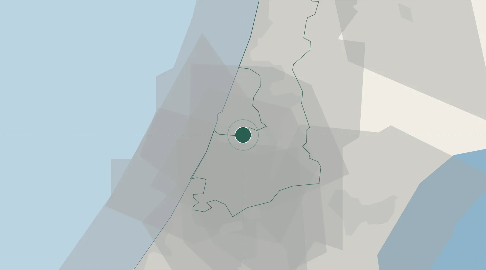
Nearby Logistics Neighbours

Cities
  1. 1Tzrifin6 km
  2. 2Savyon6 km
  3. 3Tel Aviv-Yafo8 km
  4. 4Lod Overseas8 km
  5. 5Post Office Lod8 km
Nearest neighbours — logibook spatial index (haversine) over the source coordinates
Ports
  1. 1Ashdod26 km
  2. 2Ashqelon48 km
  3. 3Hadera53 km
  4. 4Haifa92 km
  5. 5Al Arish133 km
Nearest neighbours — logibook spatial index (haversine) over the source coordinates
Airports
  1. 1Ben Gurion International Airport7 km
  2. 2Tel Nof Air Base18 km
  3. 3Ramat David Air Base81 km
  4. 4Nevatim Air Base90 km
  5. 5Bar Yehuda Airfield92 km
Nearest neighbours — logibook spatial index (haversine) over the source coordinates
Trade Zones
  1. 1Bethlehem Industrial Estate -BIE49 km
  2. 2Jericho Argo- Industrial Park (JAIP)62 km
  3. 3Gaza Industrial Estate (GIE)67 km
  4. 4Jenin Industrial Free Zone (JIFZ)67 km
  5. 5Al-Karama Free Zone71 km
Nearest neighbours — logibook spatial index (haversine) over the source coordinates
DatabookThe Record of Consolidated Knowledge
Israel beyond logistics?
Browse databook

All Sources

LocationsUN/LOCODE
UN/LOCODE — free
LocationsGeoNames
CC BY 4.0
Portsthe NGA World Port Index
Public domain (US gov)
AirportsOurAirports
Public domain
Trade Zonesthe World Bank SEZ database
CC BY 4.0
Trade ZonesOpen Zone Map
CC BY
← Israel locations