Transport Functions
Port
Road
Hub Profile
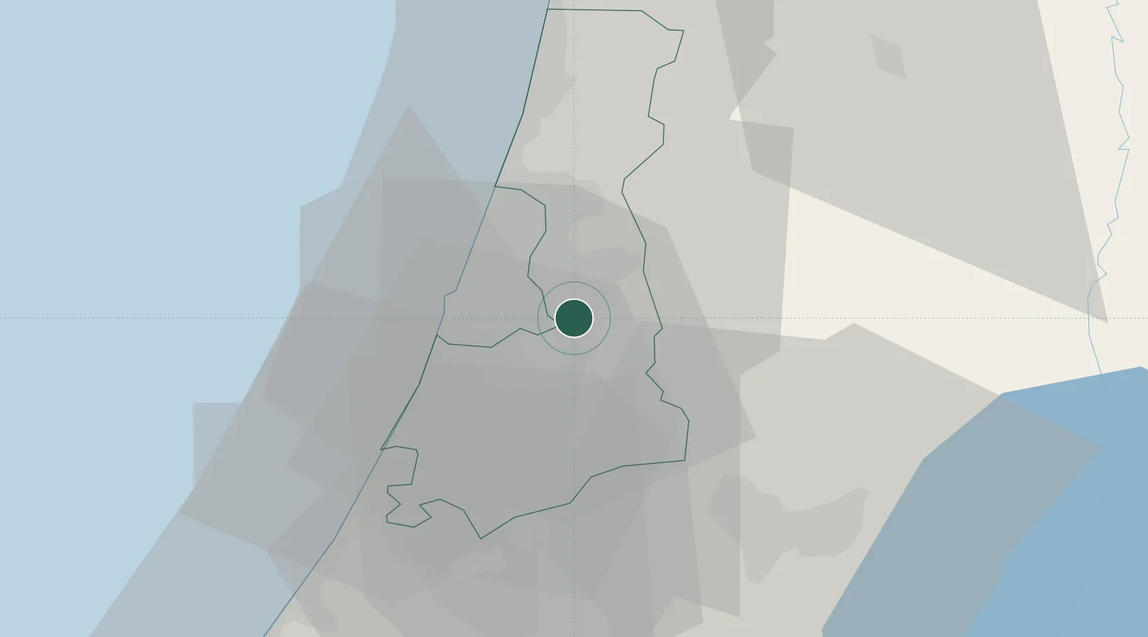
Place type
Populated place
Region
Central District
Time zone
Asia/Jerusalem
Elevation
53 m
Location
Nearby Logistics Neighbours
Cities
- 1Savyon3 km
- 2Kibbutz Einat5 km
- 3Bet Dagan9 km
- 4Lod Overseas9 km
- 5Post Office Lod9 km
Airports
Trade Zones
DatabookThe Record of Consolidated Knowledge
Israel beyond logistics?