Transport Functions
Multimodal
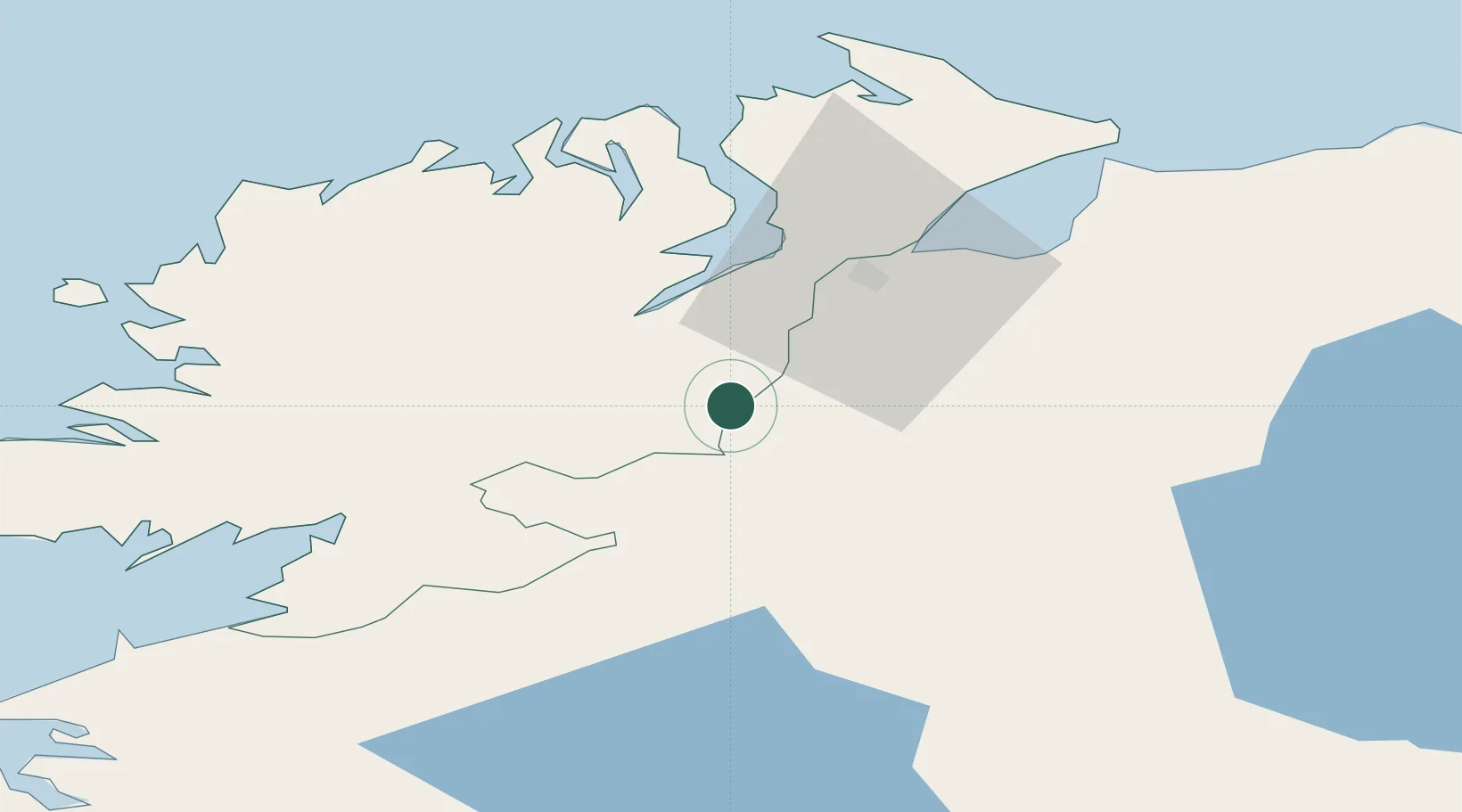
Hub Profile
Place type
Populated place
Region
Northern Ireland
Population
1,373
Time zone
Europe/London
Elevation
117 m
Location
Nearby Logistics Neighbours
Cities
- 1Strabane5 km
- 2Castlefinn5 km
- 3Ramelton25 km
- 4Burnfoot27 km
- 5Maydown29 km
Ports
- 1Londonderry25 km
- 2Rathmullan32 km
- 3Killybegs62 km
- 4Coleraine66 km
- 5Sligo86 km
Airports
- 1City of Derry Airport35 km
- 2Enniskillen/St Angelo Airport47 km
- 3Donegal Airport58 km
- 4Belfast International Airport86 km
- 5Sligo Airport91 km
Trade Zones
DatabookThe Record of Consolidated Knowledge
United Kingdom beyond logistics?