Medium airport · Ireland
Sligo AirportEISG
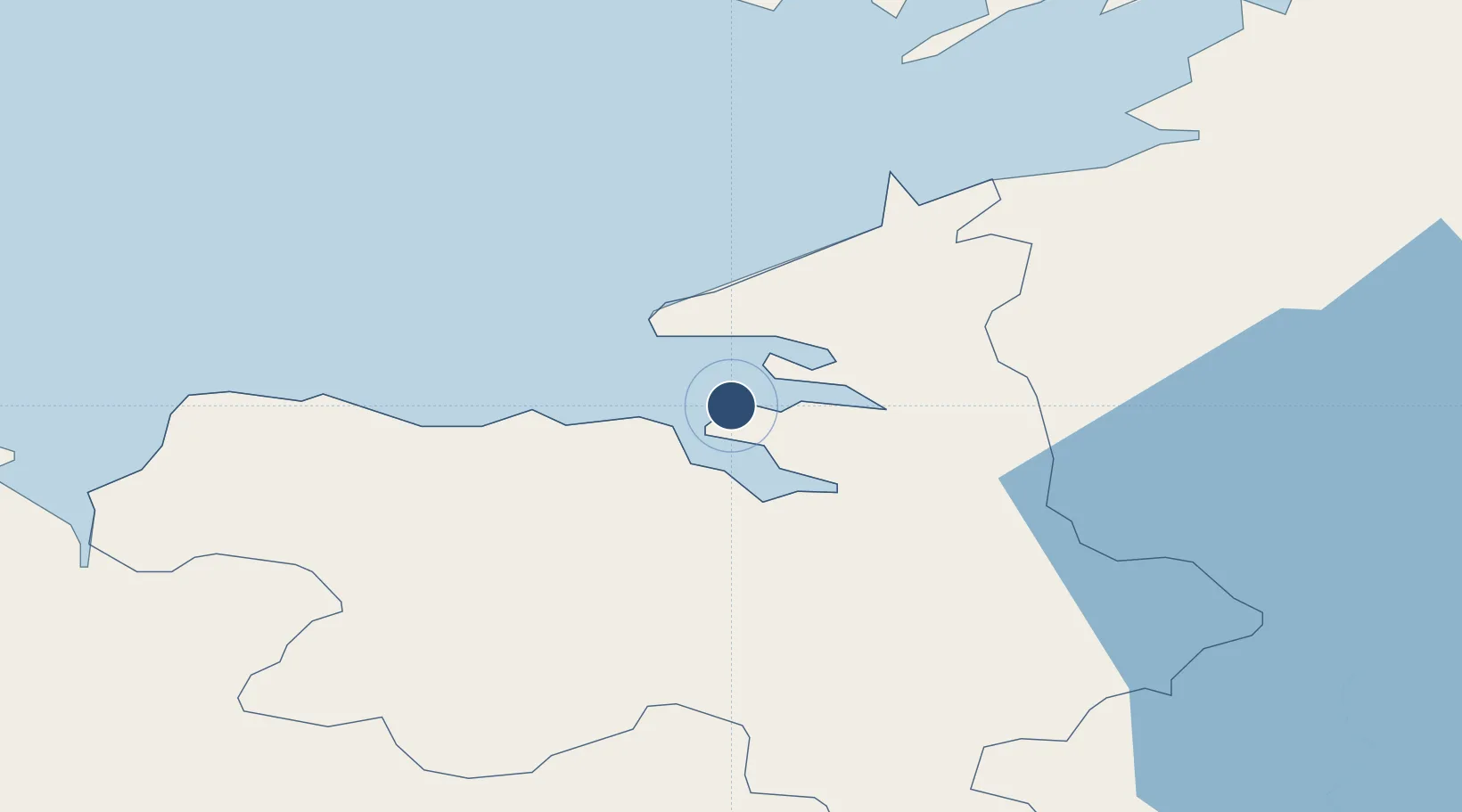
54.2802°, -8.5992°
3,517 ft
Longest runway
1
Runways
11 ft
Elevation
Runway & Layout

Radio Frequencies
TWR
122.1 MHz
GND
122.1 MHz
AFIS
122.1 MHz
INFO
Navaids
SLG NDB-DME Sligo 0.38 MHz
Runways · 1
| Runway | Dimensions | Surface | True heading | Lit |
|---|---|---|---|---|
| 10/28 | 3,517 × 98ft | Asphalt | 100° | ✓ |
Airport Specifications
IATA code
SXL
ICAO code
EISG
Airport class
Medium airport
Scheduled service
No
Runway surface
Asphalt
Served city
Sligo
Location
Nearby Logistics Neighbours
Airports
- 1Ireland West Airport Knock44 km
- 2Enniskillen/St Angelo Airport63 km
- 3Donegal Airport87 km
- 4City of Derry Airport126 km
- 5Connemara Regional Airport130 km
Cities
- 1Easkey/Rathlee24 km
- 2Manorhamilton28 km
- 3Ballina41 km
- 4Carrick48 km
- 5Kiltamagh55 km
Ports
- 1Sligo9 km
- 2Killybegs40 km
- 3Westport81 km
- 4Rathmullan114 km
- 5Londonderry115 km
Trade Zones
DatabookThe Record of Consolidated Knowledge
Ireland beyond logistics?